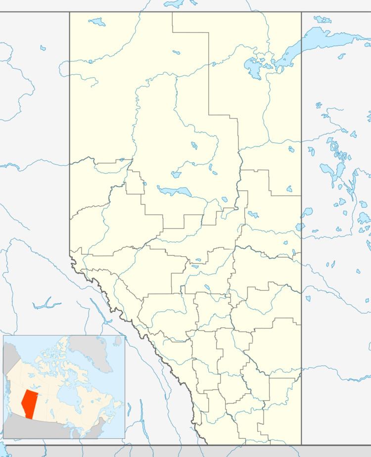
Country Canada Census division 1 Postal code span TOK 0J0 Population 264 (2001) Local time Monday 5:51 PM | Time zone MST (UTC-7) Area 208 ha Area code Area code 403 | |
 | ||
Weather -8°C, Wind NW at 8 km/h, 77% Humidity | ||
Burdett is a hamlet in Alberta, Canada within the County of Forty Mile No. 8. It is located approximately 71 kilometres (44 mi) west of Medicine Hat and 97 kilometres (60 mi) east of Lethbridge on Highway 3. Also, Burdett is regarded as the site of Canada's first irrigation pivot.
Contents
Map of Burdett, AB, Canada
History
The community has the name of Angela Burdett-Coutts, 1st Baroness Burdett-Coutts, a railroad promoter. Previously incorporated as a village on June 30, 1913, Burdett dissolved to hamlet status on January 1, 2003.
Demographics
As a designated place in the 2016 Census of Population conducted by Statistics Canada, Burdett recorded a population of 406 living in 117 of its 122 total private dwellings, a change of 7001170000000000000♠17% from its 2011 population of 347. With a land area of 0.79 km2 (0.31 sq mi), it had a population density of 513.9/km2 (1,331.1/sq mi) in 2016.
