
Country United States Time zone CST (UTC-6) Elevation 212 m Local time Saturday 8:23 AM | Created 1862 GNIS feature ID 0429072 Area 224.5 km² Population 6,028 (2010) | |
 | ||
Weather 2°C, Wind W at 21 km/h, 81% Humidity | ||
Grant Township is a township in Vermilion County, Illinois, USA. As of the 2010 census, its population was 6,028 and it contained 2,817 housing units.
Contents
- Map of Grant Township IL USA
- History
- Geography
- Cities and towns
- Unincorporated towns
- Extinct towns
- Adjacent townships
- Cemeteries
- Major highways
- Airports and landing strips
- References
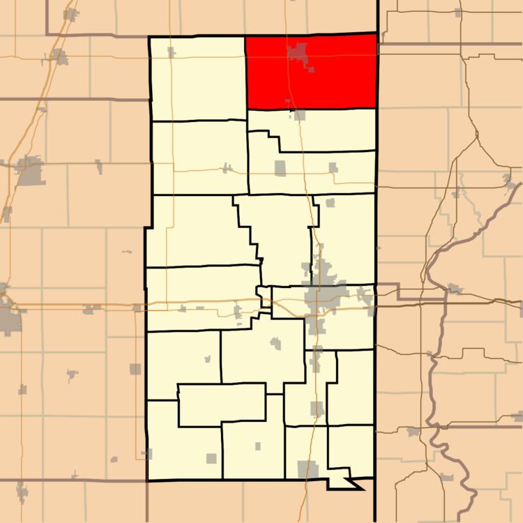
Map of Grant Township, IL, USA
History
Grant Township was originally called Lyon Township but it was changed in 1862 to honor Ulysses S. Grant. He had just won a surrender by Confederate forces at Fort Donelson in Tennessee.
Geography
According to the 2010 census, the township has a total area of 86.69 square miles (224.5 km2), of which 86.66 square miles (224.4 km2) (or 99.97%) is land and 0.03 square miles (0.078 km2) (or 0.03%) is water.
Cities and towns
Unincorporated towns
Extinct towns
Adjacent townships
Cemeteries
The township contains one cemetery, Redtop.
Major highways
Airports and landing strips
References
Grant Township, Vermilion County, Illinois Wikipedia(Text) CC BY-SA