
Country United States Time zone CST (UTC-6) Area 93.84 km² Population 368 (2010) | Established September 15, 1868 Elevation 204 m Local time Wednesday 10:14 AM | |
 | ||
ZIP codes 60924, 60926, 60942, 60953, 60960 Weather -5°C, Wind NW at 21 km/h, 63% Humidity | ||
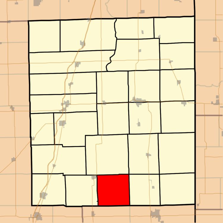
Fountain Creek Township is one of twenty-six townships in Iroquois County, Illinois, USA. As of the 2010 census, its population was 368 and it contained 145 housing units. Fountain Creek Township formed from a portion of Ash Grove Township on September 15, 1868.
Contents
- Map of Fountain Creek IL USA
- Geography
- Unincorporated towns
- Cemeteries
- School districts
- Political districts
- References
Map of Fountain Creek, IL, USA
Geography
According to the 2010 census, the township has a total area of 36.23 square miles (93.8 km2), all land.
Unincorporated towns
(This list is based on USGS data and may include former settlements.)
Cemeteries
The township contains Old Apostolic Cemetery.
School districts
Political districts
References
Fountain Creek Township, Iroquois County, Illinois Wikipedia(Text) CC BY-SA