
Prominence 116 m ↓ Granatscharte | Elevation 3,086 m | |
 | ||
Isolation 0.85 km → Stubacher Sonnblick Normal route East Ridge (Ostgrat) from Rudolfs Hut (II-) Similar Stubacher Sonnblick, Großer Muntanitz, Hohe Fürleg, Hohe Riffl, Hoher Sonnblick | ||
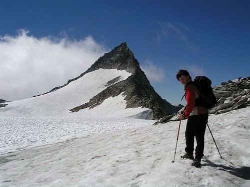
The Granatspitze (3,086 m (AA)) is the mountain giving its name to the Granatspitze Group in the High Tauern, the Alpine backbone of Austria. This, despite the fact that several peaks in this group are actually higher, for example the Stubacher Sonnblick which is less than a kilometre to the north and two metres higher. But, unlike, its oft-climbed neighbour, the Granatspitze is more rarely frequented due to the level of difficulty of the ascent. The steep summit block of this striking peak is made of granite.
Contents
Map of Granatspitze, 9971, Austria
Ascent
The easiest ascent runs from Rudolfs Hut initially westwards towards the notch of the Granatscharte, turning south in front of it to continue along the East Ridge (Ostgrat) to the summit. This route takes about 3 hours and has a climbing grade of II-. Another option is offered by the North Ridge (Nordgrat) with its several pinnacles or rock towers (Grattürme), but this is more difficult, albeit still II-. The South Ridge is also an option, especially from the East Tyrolean side. This can be reached from the Karl Fürst Hut, an emergency shelter west of the Stubacher Sonnblick, crossing the Prägratkees glacier, which has several difficult crevasses at the notch of Untere Keeswinkelscharte (II-).