
Car plates NEL | Area 1,112 km² | |
 | ||
Points of interest MOSIR, Zamek w Ełku, Skansen Pszczelarski, Wasserturm, Ruiny Zamku Krzyżackiego | ||
Ełk County (Polish: powiat ełcki) is a unit of territorial administration and local government (powiat) in Warmian-Masurian Voivodeship, northern Poland. It came into being on January 1, 1999, as a result of the Polish local government reforms passed in 1998. Its administrative seat and only town is Ełk, which lies 123 kilometres (76 mi) east of the regional capital Olsztyn.
Contents
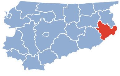
Map of E%C5%82k County, Poland
The county covers an area of 1,111.87 square kilometres (429.3 sq mi). As of 2006 its total population is 84,760, out of which the population of Ełk is 56,156 and the rural population is 28,604.
Neighbouring counties
Ełk County is bordered by Olecko County to the north, Suwałki County to the north-east, Augustów County to the east, Grajewo County to the south, and Pisz County and Giżycko County to the west.
Administrative division
The county is subdivided into five gminas (one urban and four rural). These are listed in the following table, in descending order of population.