
Canton Goyave INSEE/Postal code 97114 /97128 Local time Friday 3:02 PM | Population (2013) 7,999 Area 60.91 km² | |
 | ||
Weather 28°C, Wind SE at 26 km/h, 65% Humidity Arrondissement | ||
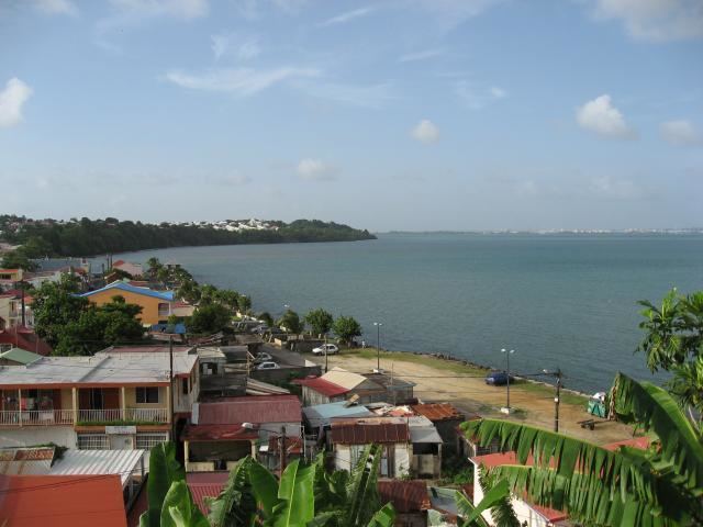
Goyave is a commune in the French overseas region and department of Guadeloupe, in the Lesser Antilles. It is part of the urban area of Pointe-à-Pitre, the largest metropolitan area in Guadeloupe.
Contents
Map of Goyave, Guadeloupe
Goyave
History
The parish of Goyave was founded in 1684 under the name of “Sainte-Anne de la petite rivière à Goyave” (Saint Anne of the little river at Guava). Guavas that grow abundantly beside the rivers in this area led the town to adopt its name. Slave labor was commonly used here, when slavery was legal in France, and there were many public executions of rebel slaves here.
Geography
Goyave is located on the eastern part of Basse-Terre Island and the southern section of Goyave is near the Goyave River. Goyave is near Pointe de la Riviere a Goyave and Goyave stretches out along the coast of Petit Cul de Sac Marin. Goyave is on very fertile soil.
Economy
The commune gets its name from the large numbers of guava trees (goyave is the French for guava), which run alongside the river flowing from the mountain. In agriculture, the sugar cane culture has been replaced by bananas and by aquaculture.