
- elevation 434 m (1,424 ft) - elevation 97 m (318 ft) | ||
 | ||
- left Munmurra River, Krui River, Poggy Creek, Tunbridge Creek, Bow River, Merriwa River, Eckfords Creek, Worondi Rivulet, Giants Creek, Wybong Creek - right Wollar Creek, Rocky Creek (New South Wales), Bylong River, Mount Misery Creek, Honeysuckle Creek (New South Wales), Kerrabee Creek, Quarry Creek, Widden Brook, Baerami Creek, Kings Creek (New South Wales) | ||
Goulburn River, a perennial river of the Hunter River catchment, is located in the Upper Hunter region of New South Wales, Australia.
Contents
Course and featuresEdit
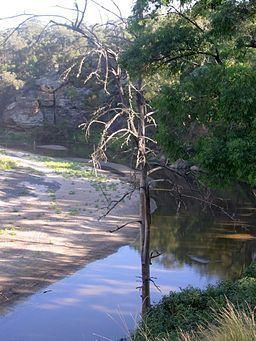
Goulburn River rises at the confluence of Moolarben Creek and Sportsmans Hollow Creek, on the eastern slopes of the Great Dividing Range, near the village of Ulan, east of Mudgee and flows generally eastward, joined by twenty-one tributaries including the Munmurra, Krui, Bylong, Bow, and Merriwa rivers and Worondi Rivulet. The river reaches its confluence with the Hunter River, south of Denman. The majority of the course of the river flows through the Goulburn River National Park. The river descends 337 metres (1,106 ft) over its 221 kilometres (137 mi) course.
EtymologyEdit
William Lawson explored the area in 1823. Goulburn River was named in honour of Henry Goulburn, a British politician in the 1820s.