
Population 1,801 (2011 census) Postal code 2328 | Postcode(s) 2328 Elevation 107 m Local time Tuesday 3:05 AM | |
 | ||
Location 255 km (158 mi) NW of Sydney139 km (86 mi) WNW of Newcastle73 km (45 mi) NW of Singleton28 km (17 mi) SW of Muswellbrook54 km (34 mi) NW of Merriwa Weather 16°C, Wind S at 3 km/h, 81% Humidity | ||
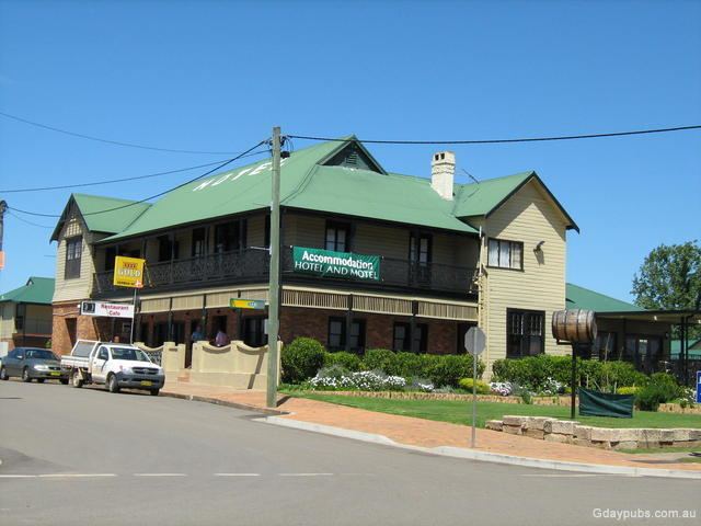
Denman is a small town in New South Wales, Australia, in Muswellbrook Shire. It is on the Golden Highway in the Upper Hunter Region, about 250 kilometres (160 mi) north of Sydney. At the 2011 census, Denman had a population of 1801.
Map of Denman NSW 2328, Australia
Denman is situated on the Hunter River near the Wollemi National Park. The main rural industries in the region are wine grape growing, horse breeding and farming. The town holds the annual Food and Wine Affair festival on the first Saturday of May.
Denman is also near Mount Rombo, a hill that has an unusual geometric shape causing to look like it has a perfectly flat top if it is viewed from Mangoola Road, a road that branches off the Conesford Highway
About 20 kilometres (12 mi) north-west of Denman, in the Goulburn River National Park, is Mount Dangar, with an elevation of 670 metres (2,200 ft) AHD . It was sighted in 1824 by surveyor Henry Dangar, who named it Mount Cupola (for its domed shape). It was renamed by explorer Allan Cunningham, who became the first European to climb it the following year. Mount Dangar is a good place for walks, offering exceptional views of the area.
Defence Establishment Myambat, the Australian Defence Force's largest munitions storage facility, is located around 10 kilometres west of Denman.