
Postcode(s) 2850 Postal code 2850 | Local time Friday 8:01 AM | |
 | ||
Location 312 km (194 mi) NW of Sydney198 km (123 mi) N of Orange41 km (25 mi) N of Mudgee25 km (16 mi) NW of Gulgong Weather 13°C, Wind SE at 10 km/h, 84% Humidity | ||
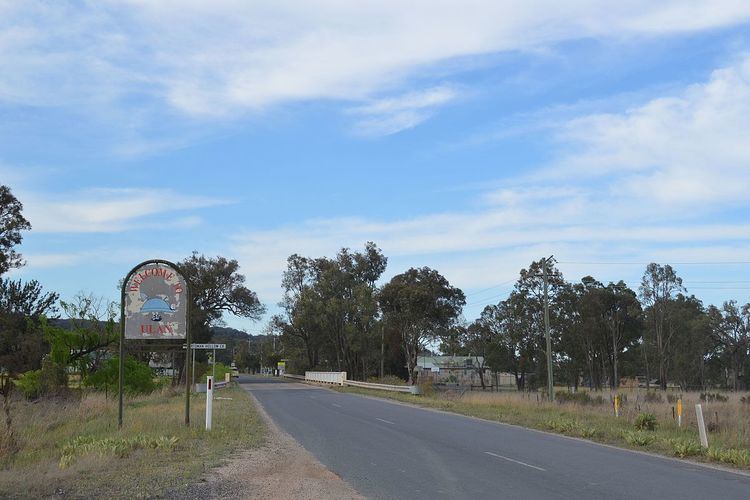
Ulan is a small village in eastern New South Wales, Australia. Ulan Post Office opened on 1 September 1893.
Map of Ulan NSW 2850, Australia
There is a coal mine at Ulan. The Sandy Hollow - Ulan Railway was built to serve this coal mine. In exchange for additional coal leases, the coal company extended the railway for 20 km to connect with other railway lines at Gulgong thus forming an improved alternate route crossing the Great Dividing Range at a lower altitude with improved gradients.
Ulan is situated on the edges of the Sydney basin.
References
Ulan, New South Wales Wikipedia(Text) CC BY-SA