
Founded 18 March 1728 Time zone WITA (UTC+8) Area 64.79 km² Population 180,127 (2010) | Elevation 9 m (30 ft) Area code(s) +62 435 | |
 | ||
Weather 25°C, Wind SW at 3 km/h, 90% Humidity University | ||
Gorontalo is a city and the capital of the Gorontalo Province, Indonesia. It has an area of 64.79 km² and a population of 179,991 at the 2010 Census
Contents
- Map of Gorontalo Gorontalo City Gorontalo Indonesia
- Geography
- Infrastructure
- Culinary
- Districts
- Sister cities
- References
Map of Gorontalo, Gorontalo City, Gorontalo, Indonesia
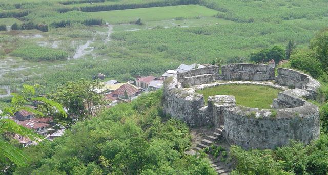
Geography
Gorontalo shares its borders with Bone Bolango Regency (to the north and east), Tomini Gulf (to the south), and Gorontalo Regency (to the west). Its elevation does not rise 500 metres above mean sea level and the average temperature is 26,5 °C
Infrastructure
The largest hospital on Gorontalo is the Aloei Saboe Hospital.
Culinary
Culinary in Gorontalo range from seafood to corn (as these can be easily found). Famous food "binthe Biluhuta" which is made out of corn, shredded coconut, basil, and some fish or dried prawns. Other than that, grilled tuna with chilly sauce is very popular.
Districts
The city is divided into six districts (kecamatan), listed below with their 2010 Census Populations:
- Kota Selatan (South City) district - 35,988
- Kota Utara (North City) district - 33,149
- Kota Barat (West City) district - 20,220
- Kota Timur (East City) district - 42,155
- Kota Tengah (Central City) district - 27,047
- Dungingi district - 21,568