
Elevation 146 m Area code 06427 | Time zone IST (UTC+5:30) Telephone/STD code 06427 Population 42,063 (2011) | |
 | ||
Gopikandar is a community development block that forms an administrative division in Dumka district, Jharkhand state, India. It is located 35 km from Dumka, the district headquarters.
Contents
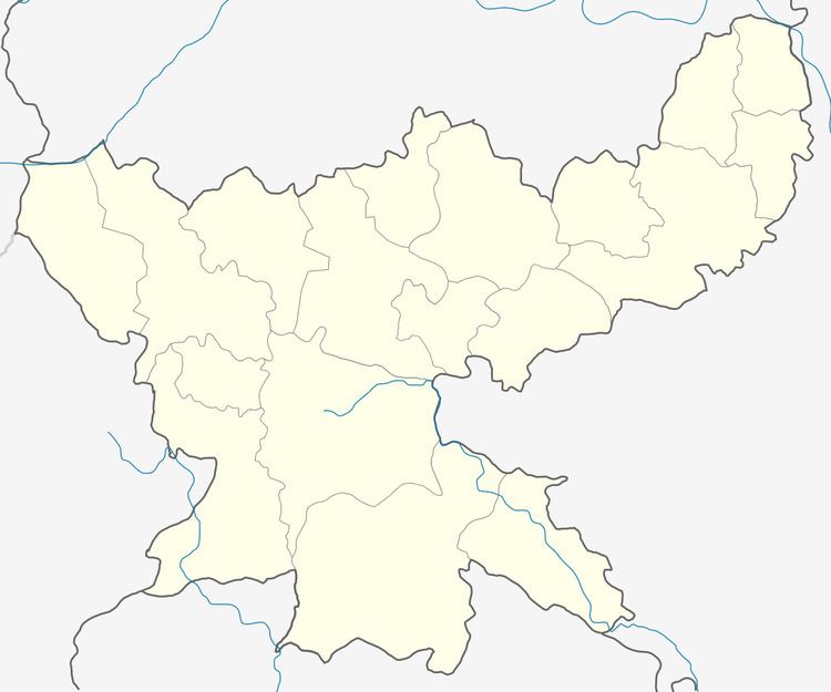
Map of Gopikandar, Jharkhand 814103
Geography
Gopikandar, the eponymous CD Block headquarters, is located at 24°25′25″N 87°29′3″E.
Demographics
As per 2011 Census of India Gopikandar CD Block had a total population of 42,063, all of which were rural. There were 20,999 (50 %) males and 21,604 (50 %) females. Scheduled Castes numbered 663 and Scheduled Tribes numbered 35,577. Population below 6 years was 7,686.
Gopikandar is a village with a population of 1,293 as per 2011 census.
Literacy
As per 2011 census the total number of literates in Gopikandar CD Block was 17,230 (50.12 % of the population over 6 years) out of which 10,491 (61 %) were males and 6,739 (39 %) were females.
As per 2011 census, literacy in Dumka district was 61.02.Literacy in Jharkhand (for population over 7 years) was 66.41% in 2011. Literacy in India in 2011 was 74.04%.