
Population 499 (2006 census) Postcode(s) 6460 Mean max temp Mean min temp Founded 1903 Local time Friday 9:37 AM | Established 1903 Elevation 239 m Postal code 6460 | |
 | ||
Weather 24°C, Wind NW at 10 km/h, 41% Humidity | ||
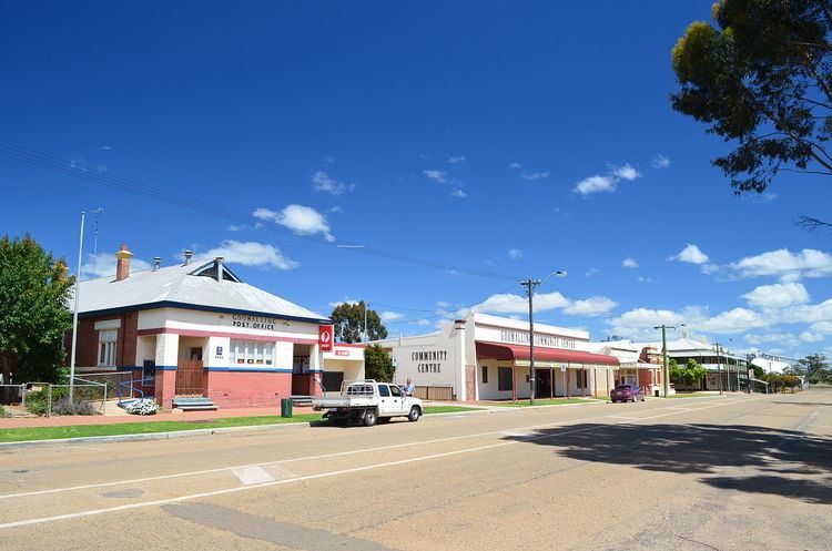
Goomalling is a townsite in the Wheatbelt region of Western Australia 45 kilometres north-north-east of Northam, Western Australia.
Contents
Map of Goomalling WA 6460, Australia
The surrounding areas produce wheat and other cereal crops. The town is a receival site for Cooperative Bulk Handling.
History
The name Goomalling was first shown for a spring found by explorers Hillman and Lefroy in 1846. Hillman noted on his plan "rich grassy country" and squatters subsequently moved into the area. George Slater was the first in the Goomalling area, establishing a property around Goomalling Spring in the early 1850s.
The Goomalling Agricultural Hall was opened in 1898 by John Dempster MLC who stood in for the Commissioner of Crown Lands, George Throssell, who was unable to make it to the event.
When the Northam – Goomalling railway line was opened in 1902 the government decided to establish a townsite at Goomalling. It was gazetted in 1903. Goomalling is an Aboriginal word which means "the place of the silver-grey possum". Goomal is the noongar word for this possum.