
- right Ramsays Lagoon Source Curumbenya Range | - elevation 504 m (1,654 ft) - elevation 192 m (630 ft) | |
 | ||
- location north of Wolabler Mountain | ||
The Goobang Creek, a perennial stream of the Lachlan sub–catchment, part of the Murrumbidgee catchment of the Murray-Darling basin, is located in the Central West region of New South Wales, Australia.
Contents
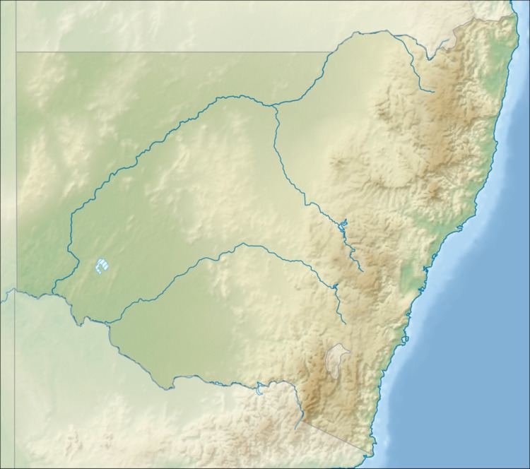
Map of Goobang Creek, New South Wales, Australia
Course and features
The Goobang Creek rises in the Curumbenya Range, 10 kilometres (6.2 mi) north of Wolabler Mountain, east of Alectown. The creek flows generally southwest towards Parkes and then generally west, joined by three minor tributaries before reaching its confluence with the Lachlan River at Condobolin. The creek descends 312 metres (1,024 ft) over its 217-kilometre (135 mi) course.
The Newell Highway crosses the creek near Parkes.
History
Prior to European settlement, the catchment area of the creek was inhabited by the Wiradjuri people. Major Thomas Mitchell and John Oxley were early explorers in the area. The town of Condobolin was proclaimed in 1859. In the mid-1860s, gold was mined on the creek. The bushranger Ben Hall was shot at Goobang Creek in 1865.
Etymology
Goobang is believed to be an Aboriginal word for a species of the acacia tree.