
- location west of Bogan Gate | - elevation 271 m (889 ft) - elevation 206 m (676 ft) | |
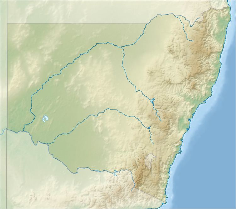 | ||
The Gunningbland Creek, a perennial river of the Lachlan sub–catchment, part of the Murrumbidgee catchment of the Murray-Darling basin, is located in the Central West region of New South Wales, Australia.
Contents
Map of Gunningbland Creek, New South Wales, Australia
Course and features
The Gunningbland Creek (technically a river) is formed by or near the confluence of the Myall and Box Camp Creeks, west of Parkes, and flows generally west southwest before reaching its confluence with the Goobang Creek, west of Bogan Gate. The creek descends 65 metres (213 ft) over its 54-kilometre (34 mi) course.
References
Gunningbland Creek Wikipedia(Text) CC BY-SA