
 | ||
Gomotartsi Knoll (Bulgarian: Гомотарска могила, ‘Gomotarska Mogila’ go-mo-'tar-ska mo-'gi-la) is the rocky, mostly ice-covered peak of elevation 900 m in the south part of Widmark Ice Piedmont on Stresher Peninsula, Loubet Coast in Graham Land, Antarctica. It is named after the settlement of Gomotartsi in Northwestern Bulgaria.
Contents
Location
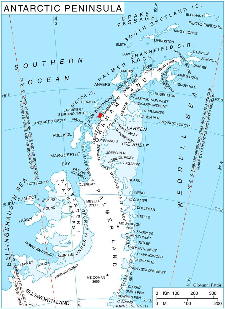
Gomotartsi Knoll is located at 66°20′36″S 65°30′10″W, which is 17.7 km east-southeast of Cape Bellue, 6.3 km west-southwest of Rugg Peak and 7.78 km northwest of Mount Lyttleton. British mapping in 1976.
Maps
References
Gomotartsi Knoll Wikipedia(Text) CC BY-SA