
 | ||
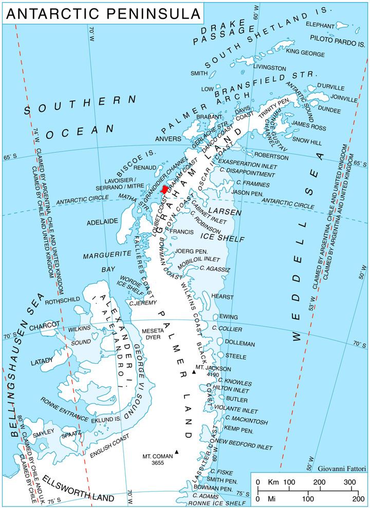
Stresher Peninsula (Bulgarian: полуостров Стрешер, ‘Poluostrov Stresher’ po-lu-'os-trov 'stre-sher) is the predominantly ice-covered rectangular peninsula 30 km wide and projecting 24 km northwestwards from Graham Land, Antarctic Peninsula. It is bounded by Holtedahl Bay to the northeast, Auvert Bay to the northwest and Darbel Bay to the southwest. Its west extremity Cape Bellue separates Graham Coast to the northeast from Loubet Coast to the southwest.
Contents
The feature is named after Stresher Peak in the Balkan Mountains, Bulgaria.
Location
Stresher Peninsula is centred at 66°16′10″S 65°26′40″W. British mapping in 1976.
Maps
References
Stresher Peninsula Wikipedia(Text) CC BY-SA