
Elevation 474 m (1,555 ft) Area 17.3 km² Local time Thursday 4:31 PM Dialling code 07072 | Time zone CET/CEST (UTC+1/+2) Population 8,599 (31 Dec 2008) Postal code 72810 Administrative region Tübingen | |
 | ||
Weather 18°C, Wind NE at 6 km/h, 36% Humidity | ||
Gomaringen is a municipality located about 10 km south of Tübingen in the German state of Baden-Württemberg.
Contents
- Map of Gomaringen Germany
- Geographical Position
- Neighboring municipalities
- Formation of the municipality
- History
- Politics
- Town Council
- International town partnership
- Museums
- Castles
- Traffic
- References
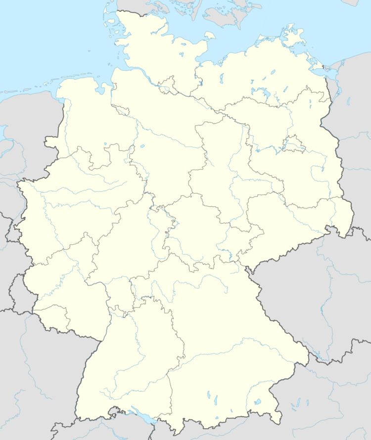
Map of Gomaringen, Germany
Geographical Position
Gomaringen is located in the valley of the stream Wiesaz, a tributary of the Steinlach, which in turn flows into the Neckar.
Neighboring municipalities
The following cities and Municipalities border Gomaringen in clockwise order starting from the north. They belong to District of Tübingen or to District of Reutlingen.
Formation of the municipality
The settlements Hinterweiler and Stockach belong to the municipality of Gomaringen.
History
Politics
Gomaringen is the seat of the municipal administration cooperation "Steinlach-Wiesaz". Other members are Dußlingen and Nehren.
Town Council
The last town election on 7 June 2009 had the following results at the last reapportionment:
International town partnership
Museums
Castles
Traffic
The state road L 230 links the town to the federal road B 27 and thereby to Tübingen and Stuttgart. The state road L 394 links Gomaringen east-bound to Reutlingen. The state road L 384 provides the link from Gomaringen to the Schwaebische Alb.
Public transport is provided by Verkehrsverbund Neckar-Alb-Donau (NALDO). The town is in comb no. 113.