
Country Canada Time zone EST (UTC−5) Area code(s) 450 and 579 Area 139.2 km² Population 1,417 (2011) | Constituted July 1, 1855 Postal code(s) J0S 1H0 Local time Wednesday 9:23 PM Province Québec | |
 | ||
Weather -7°C, Wind W at 18 km/h, 90% Humidity | ||
Godmanchester is a township municipality located in Le Haut-Saint-Laurent Regional County Municipality in the Montérégie region of Quebec, Canada. The population as of the Canada 2011 Census was 1,417. The southeast part of the township is mostly delineated by the Chateauguay River, while the south end borders with Franklin County, New York.
Contents
Map of Godmanchester, QC, Canada
It was named after Godmanchester, England in 1811.
Geography
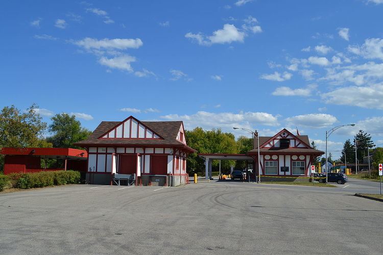
The municipality is situated along the Canada–United States border.
Communities
The following locations reside within the municipality's boundaries:
Lakes & Rivers
The following waterways pass through or are situated within the municipality's boundaries:
Several other smaller streams and waterways also exist throughout the municipality.
Transportation
The CIT du Haut-Saint-Laurent provides commuter and local bus services.