
Population (2006) 1,893 Local time Thursday 1:52 AM | Canton Steenvoorde Area 11.89 km² | |
 | ||
Intercommunality Monts de Flandres - Plaine de la Lys Weather 6°C, Wind S at 3 km/h, 95% Humidity | ||
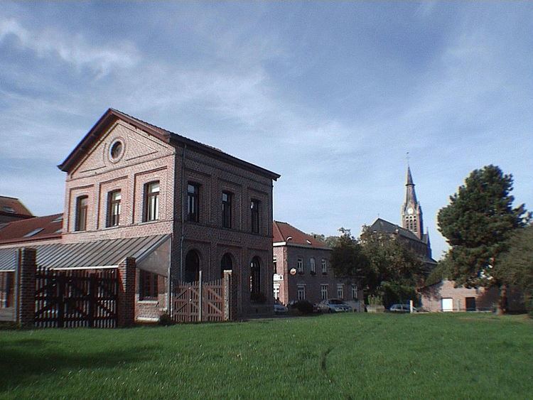
Godewaersvelde is a commune in the Nord department in northern France, near the Belgium border.
Contents
Map of Godewaersvelde, France
Etymology
The name of the commune means "Godafritha's Heath" or "Godefried Fields". British soldiers called it "God" during the First World War. A popular story claims that Godewaersvelde means "God bless our fields", but it appears to be unfounded, and is dismissed by linguists and historians.
Dutch: Godewaarsvelde; Frans-Vlaams: Godsvelde; official French: Godewaersvelde is in Franse Westhoek, in the Nord Department, France. The community has 2000 dwellers. In the place where French Flemish dialect and in the Westhoek becoming known as Godsvelde is spoken.
Location
Godewaersvelde is located in northern France along the Belgian border and is in the heart of Flanders, less than half an hour from Lille and Dunkirk. It is one of nine municipalities in the canton of Steenvoorde. Godewaersvelde covers 1189 hectares or nearly 12 square kilometers and is crossed by several county roads: the R & D 948 which connects at the A25 interchange in Poperinge, 139 R & D that leads to Boeschèpe and Eecke, DR 18, which connects Route Méteren to Poperinge.