
Area 376.7 km² | Population 5,209 (2006) | |
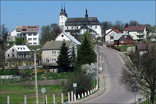 | ||
Gmina Goniądz is an urban-rural gmina (administrative district) in Mońki County, Podlaskie Voivodeship, in north-eastern Poland. Its seat is the town of Goniądz, which lies approximately 11 kilometres (7 mi) north-west of Mońki and 51 km (32 mi) north-west of the regional capital Białystok.
Contents
Map of Gmina Goni%C4%85dz, Poland
The gmina covers an area of 376.68 square kilometres (145.4 sq mi), and as of 2006 its total population is 5,209 (out of which the population of Goniądz amounts to 1,910, and the population of the rural part of the gmina is 3,299).
Villages
Apart from the town of Goniądz, Gmina Goniądz contains the villages and settlements of Białosuknia, Budne, Budne-Żarnowo, Dawidowizna, Doły, Downary, Klewianka, Kramkówka Duża, Kramkówka Mała, Krzecze, Łazy, Mierkienniki, Olszowa Droga, Osowiec, Owieczki, Piwowary, Płochowo, Smogorówka Dolistowska, Smogorówka Goniądzka, Szafranki, Uścianek, Wojtówstwo, Wólka Piaseczna and Wroceń.
Neighbouring gminas
Gmina Goniądz is bordered by the gminas of Bargłów Kościelny, Grajewo, Jaświły, Mońki, Radziłów, Rajgród, Sztabin and Trzcianne.