
Seat Bargłów Kościelny Population 5,783 (2006) | Area 187.6 km² | |
 | ||
Website | ||
Gmina Bargłów Kościelny is a rural gmina (administrative district) in Augustów County, Podlaskie Voivodeship, in north-eastern Poland. Its seat is the village of Bargłów Kościelny, which lies approximately 14 kilometres (9 mi) south-west of Augustów and 76 km (47 mi) north of the regional capital Białystok.
Contents
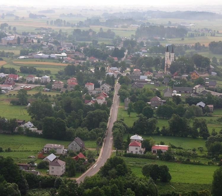
Map of Gmina Barg%C5%82%C3%B3w Ko%C5%9Bcielny, Poland
The gmina covers an area of 187.57 square kilometres (72.4 sq mi), and as of 2006 its total population is 5,783.
Villages
Gmina Bargłów Kościelny contains the villages and settlements of Bargłów Dworny, Bargłów Kościelny, Bargłówka, Barszcze, Brzozówka, Bułkowizna, Dręstwo, Górskie, Judziki, Komorniki, Kresy, Kroszewo, Kroszówka, Kukowo, Łabętnik, Lipowo, Nowa Kamionka, Nowiny Bargłowskie, Pieńki, Pomiany, Popowo, Pruska, Reszki, Rumiejki, Solistówka, Sosnowo, Stara Kamionka, Stare Nowiny, Stare Tajno, Tajenko, Tajno Łanowe, Tajno Podjeziorne, Wólka Karwowska and Źrobki.
Neighbouring gminas
Gmina Bargłów Kościelny is bordered by the gminas of Augustów, Goniądz, Kalinowo, Rajgród and Sztabin.