
Population 6,959 (2006) | Area 351 km² | |
 | ||
Website | ||
Gmina Dobiegniew is an urban-rural gmina (administrative district) in Strzelce-Drezdenko County, Lubusz Voivodeship, in western Poland. Its seat is the town of Dobiegniew, which lies approximately 18 kilometres (11 mi) north-east of Strzelce Krajeńskie and 43 km (27 mi) north-east of Gorzów Wielkopolski.
Contents
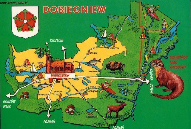
Map of Gmina Dobiegniew, Poland
The gmina covers an area of 350.99 square kilometres (135.5 sq mi), and as of 2006 its total population is 6,959 (of which the population of Dobiegniew amounts to 3,187, and the population of the rural part of the gmina is 3,772).
Villages
Apart from the town of Dobiegniew, Gmina Dobiegniew contains the villages and settlements of Chomętowo, Chrapów, Czarnolesie, Dębnik, Dębogóra, Derkacze, Głusko, Grabionka, Grąsy, Grzmikoło, Jarychowo, Kamienna Knieja, Kępa Zagajna, Kowalec, Kubczyce, Łęczyn, Lipinka, Lubiewko, Ługi, Ługowo, Mierzęcin, Młodolino, Moczele, Mostniki, Niemiennica, Niwy, Nowy Młyn, Osieczek, Osiek, Osowiec, Ostrowiec, Ostrowiec-Osada, Ostrowite, Podlesiec, Podszkle, Pokręt, Radachowo, Radęcin, Rolewice, Rozkochowo, Sarbinowo, Sitnica, Sławica, Słonów, Słowin, Starczewo, Stare Osieczno, Suchów, Świnki, Urszulanka, Wilczy Dół, Wołogoszcz and Żeleźnica.
Neighbouring gminas
Gmina Dobiegniew is bordered by the gminas of Bierzwnik, Człopa, Drawno, Drezdenko, Krzyż Wielkopolski, Stare Kurowo and Strzelce Krajeńskie.