
Car plates FSD Area 1,248 km² | ||
 | ||
Gminas Total 5Gmina DobiegniewGmina DrezdenkoGmina Stare KurowoGmina Strzelce KrajeńskieGmina Zwierzyn Points of interest Drawa National Park, Muzeum Puszczy Drawskiej, Muzeum Woldenberczyków, Rezerwat przyrody Buki Zdro, Rezerwat przyrody Jezioro Ł | ||
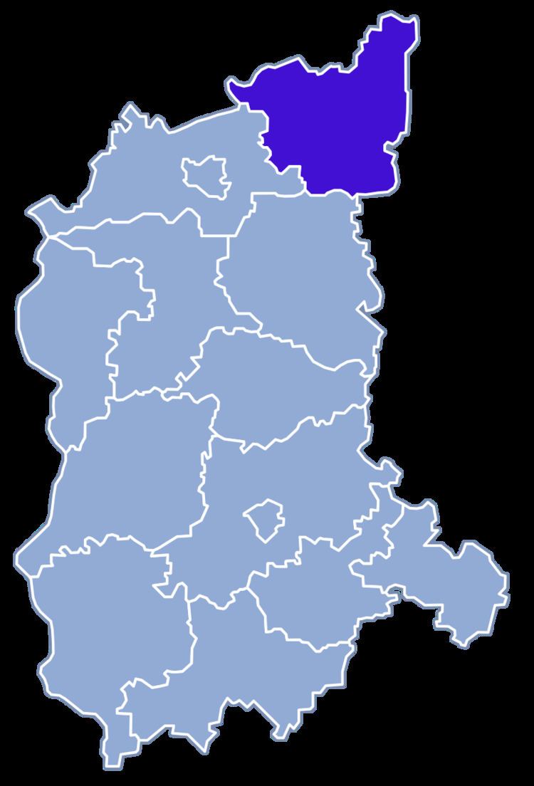
Strzelce-Drezdenko County (Polish: powiat strzelecko-drezdenecki) is a unit of territorial administration and local government (powiat) in Lubusz Voivodeship, western Poland. It came into being on January 1, 1999, as a result of the Polish local government reforms passed in 1998. Its administrative seat is the town of Strzelce Krajeńskie, which lies 25 km (16 mi) north-east of Gorzów Wielkopolski and 104 km (65 mi) north of Zielona Góra. The county also contains the towns of Drezdenko, lying 21 km (13 mi) east of Strzelce Krajeńskie, and Dobiegniew, 18 km (11 mi) north-east of Strzelce Krajeńskie.
Contents
Map of Strzelce-Drezdenko County, Poland
The county covers an area of 1,248.32 square kilometres (482.0 sq mi). As of 2006 its total population is 50,151, out of which the population of Drezdenko is 10,332, that of Strzelce Krajeńskie is 10,143, that of Dobiegniew is 3,187, and the rural population is 26,489.
Neighbouring counties
Strzelce-Drezdenko County is bordered by Choszczno County to the north, Wałcz County to the north-east, Czarnków-Trzcianka County to the east, Międzychód County to the south-east, Międzyrzecz County to the south, Gorzów County to the south-west and Myślibórz County to the west.
Administrative division
The county is subdivided into five gminas (three urban-rural and two rural). These are listed in the following table, in descending order of population.