
Local time Monday 6:00 AM | Population 30 | |
 | ||
Weather 4°C, Wind NE at 5 km/h, 89% Humidity | ||
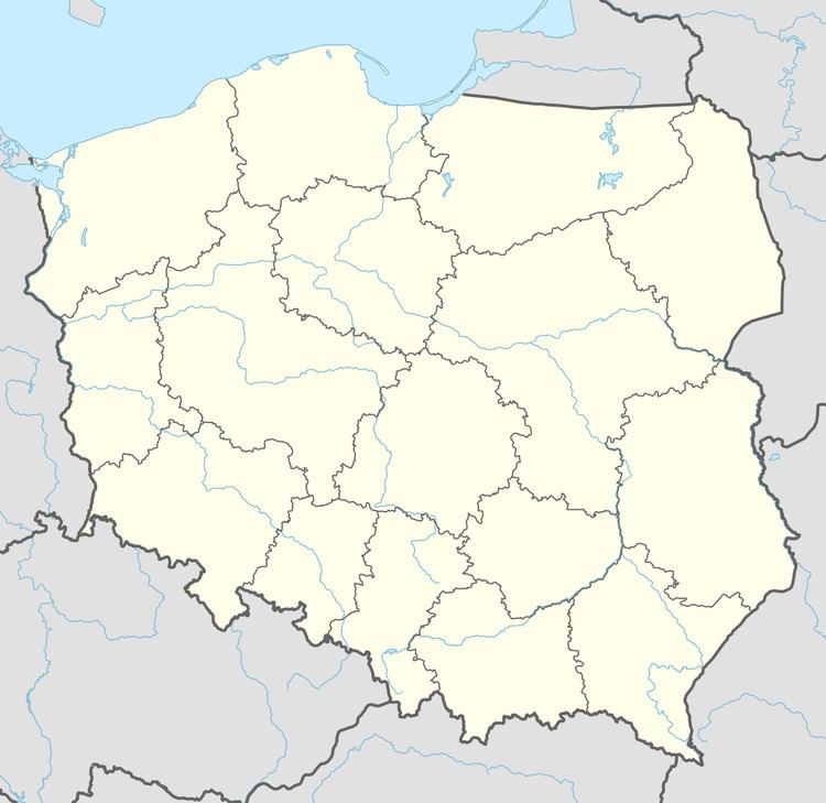
Chrapów [ˈxrapuf] (German: Grapow) is a village in the administrative district of Gmina Dobiegniew, within Strzelce-Drezdenko County, Lubusz Voivodeship, in western Poland. It lies approximately 6 kilometres (4 mi) east of Dobiegniew, 23 km (14 mi) north-east of Strzelce Krajeńskie, and 47 km (29 mi) north-east of Gorzów Wielkopolski.
Map of Chrap%C3%B3w, Poland
Before 1945 the area was part of Germany (see Territorial changes of Poland after World War II). Following World War II the native German populace was expelled and replaced by Poles.
The village has a population of 30.
References
Chrapów Wikipedia(Text) CC BY-SA