Population 25,209 (2006) | Area 136.2 km² | |
 | ||
Voivodeship | ||
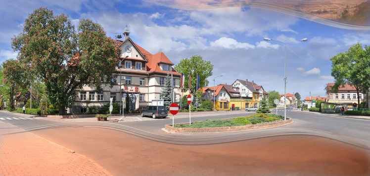
Gmina Bogatynia is an urban-rural gmina (administrative district) in Zgorzelec County, Lower Silesian Voivodeship, in south-western Poland, bordering both the Czech Republic and Germany. Its seat is the town of Bogatynia, which lies approximately 27 kilometres (17 mi) south of Zgorzelec, and 147 kilometres (91 mi) west of the regional capital Wrocław.
Contents
Map of Gmina Bogatynia, Poland
The gmina covers an area of 136.17 square kilometres (52.6 sq mi), and as of 2006 its total population is 25,209, of which the population of Bogatynia is 19,068, and the population of the rural part of the gmina is 6,141.
Neighbouring gminas
Gmina Bogatynia is bordered by the town of Zawidów and the gmina of Zgorzelec. It also borders the Czech Republic and Germany.
Villages
Apart from the town of Bogatynia, the gmina contains the villages of Białopole, Bratków, Działoszyn, Jasna Góra, Kopaczów, Krzewina, Lutogniewice, Opolno-Zdrój, Porajów, Posada, Rybarzowice, Sieniawka, Wolanów and Wyszków.
