
Area 119.2 km² | Population 8,046 (2006) | |
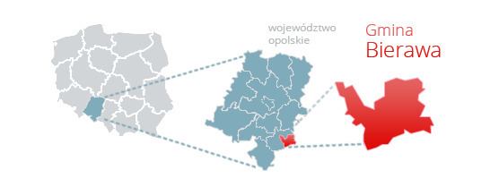 | ||
Gmina Bierawa, German Gemeinde Birawa is a rural gmina (administrative district) in Kędzierzyn-Koźle County, Opole Voivodeship, in south-western Poland. Its seat is the village of Bierawa, which lies approximately 8 kilometres (5 mi) south-east of Kędzierzyn-Koźle and 48 km (30 mi) south-east of the regional capital Opole.
Contents
Map of Gmina Bierawa, Poland
The gmina covers an area of 119.24 square kilometres (46.0 sq mi), and as of 2006 its total population is 8,046. Since 2007 the commune, like much of the area, is officially bilingual in German and Polish.
Administrative divisions
The commune contains the villages and settlements of:
Neighbouring gminas
Gmina Bierawa is bordered by the gminas of Kuźnia Raciborska, Rudziniec, Sośnicowice and Toszek.
References
Gmina Bierawa Wikipedia(Text) CC BY-SA