
Area 84.54 km² | Local time Wednesday 3:18 PM | |
 | ||
Weather 10°C, Wind NW at 24 km/h, 54% Humidity | ||
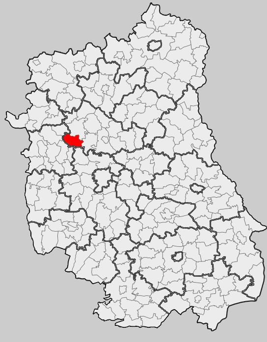
Gmina Abramów is a rural gmina (administrative district) in Lubartów County, Lublin Voivodeship, in eastern Poland. Its seat is the village of Abramów, which lies approximately 20 kilometres (12 mi) west of Lubartów and 29 km (18 mi) north-west of the regional capital Lublin.
Contents
Map of Gmina Abram%C3%B3w, Poland
The gmina covers an area of 84.54 square kilometres (32.6 sq mi), and as of 2006 its total population is 4,309 (4,182 in 2014).
Neighbouring gminas
Gmina Abramów is bordered by the gminas of Baranów, Garbów, Kamionka, Kurów, Markuszów, Michów and Żyrzyn.
Villages
The gmina contains the villages of Abramów, Ciotcza, Dębiny, Glinnik, Izabelmont, Marcinów, Michałówka, Sosnówka, Wielkie, Wielkolas and Wolica.
References
Gmina Abramów Wikipedia(Text) CC BY-SA