Supriya Ghosh (Editor)

Gmina Kurów

Updated on
Edit
Like
Comment
Share on FacebookTweet on TwitterShare on LinkedInShare on Reddit
Country
  
Poland

Seat
  
Kurów

Area
  
101.3 km²

Voivodeship
  
Lublin Voivodeship

County
  
Puławy

TERYT code
  
0614062

Population
  
7,892 (2006)

Gmina Kurów 21711314752stronaimagesstoriesstronagminy

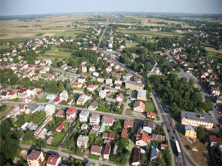
Gmina Kurów is a rural gmina (administrative district) in Puławy County, Lublin Voivodeship, in eastern Poland. Its seat is the village of Kurów, which lies approximately 16 kilometres (10 mi) east of Puławy and 32 km (20 mi) north-west of the regional capital Lublin.

Contents

Map of Gmina Kur%C3%B3w, Poland

The gmina covers an area of 101.3 square kilometres (39.1 sq mi), and as of 2006 its total population is 7,892.

Neighbouring gminas

Gmina Kurów is bordered by the gminas of Abramów, Końskowola, Markuszów, Nałęczów, Wąwolnica and Żyrzyn.

Villages in the gmina

  • Barlogi
  • Bronislawka
  • Brzozowa Gac
  • Buchalowice
  • Choszczów
  • Deba
  • Góry Olesińskie
  • Kalinówka
  • Klementowice
  • Kloda
  • Kolonia Buchalowice
  • Kolonia Klementowice
  • Kolonia Nowy Dwór
  • Kolonia Plonki
  • Kurów
  • Lakoc
  • Mala Deba
  • Mala Kloda
  • Marianka
  • Olesin
  • Paluchów
  • Plonki
  • Podbórz
  • Posiolek
  • Szumów
  • Wegielnica
  • Wólka Nowodworska
  • Wygoda
  • Zastawie
  • Rivers

  • Kurówka
  • Bielkowa
  • Struga Kurów
  • Struga Wodna
  • References

    Gmina Kurów Wikipedia