
Elevation 158 m Local time Wednesday 8:06 AM | Average Temperature 24.4 °C (75.9 °F) Area 231.2 km² | |
 | ||
Weather 27°C, Wind SE at 10 km/h, 76% Humidity | ||
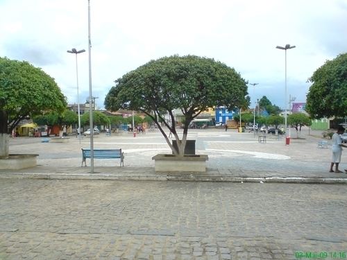
Glória do Goitá is a city in Pernambuco, Brazil. It is located in Zona da mata Pernambucana at 75 km of the state capital Recife.
Contents
- Map of GlC3B3ria do GoitC3A1 State of Pernambuco Brazil
- Geography
- Economy
- Economic indicators
- References
Map of Gl%C3%B3ria do Goit%C3%A1, State of Pernambuco, Brazil
Geography
Economy
The main economic activities in Glória do Goitá are based in industry, commerce and agribusiness, especially plantations of sugarcane, coconuts, manioc, and the raising of cattle, goats, sheep and poultry.
Economic indicators
Economy by sector (2006)
References
Glória do Goitá Wikipedia(Text) CC BY-SA