Kalpana Kalpana (Editor)

Paudalho

Updated on
Edit
Like
Comment
Share on FacebookTweet on TwitterShare on LinkedInShare on Reddit
Area
  
270.4 km²

Paudalho 2bpblogspotcom8U9tCYtFK7MTnTPeQ5HWqIAAAAAAA

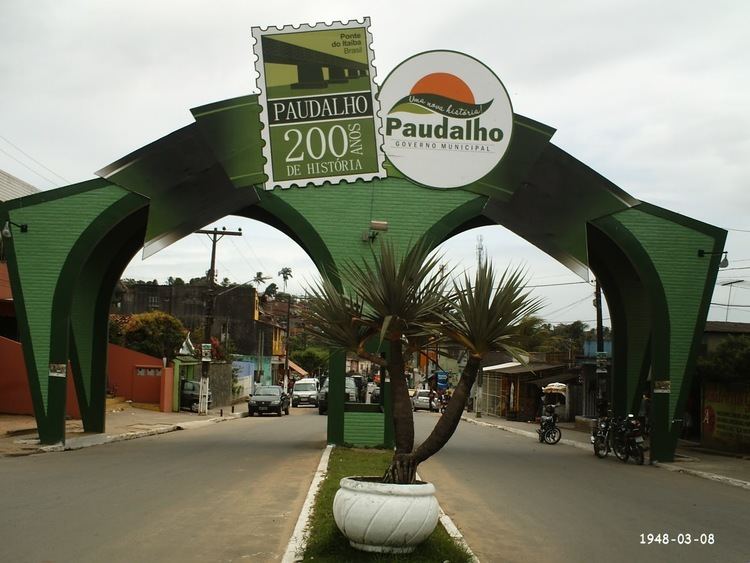
Paudalho is a city in northeastern Brazil, in the State of Pernambuco, with 47.551 inhabitants IBge 2009.

Contents

Map of Paudalho - State of Pernambuco, Brazil

Geography

  • Region - Zona da mata Pernambucana
  • Boundaries - Tracunhaém (N), São Lourenço da Mata, Chã de Alegria, Camaragibe and Glória do Goitá (S), Carpina and Lagoa do Itaenga(W), Paulista and Abreu e Lima (E)
  • Area - 277.8 km2
  • Elevation - 69 m
  • Hidrography - Capibaribe and Goiana rivers
  • Vegetation - Subcaducifólia forest
  • Climate - Hot tropical and humid
  • Annual average temperature - 25.2 c
  • Distance to Recife - 42 km
  • Economy

    The main economic activities in Paudalho are based in extrativism industry, commerce and primary sector especially sugarcane and cattle.

    Economic indicators

    Economy by Sector 2006

    References

    Paudalho Wikipedia