
District Sørlandet Area rank 263 in Norway Area 322.1 km² Population 2,478 (2010) | County Aust-Agder Administrative centre Gjerstad Demonym(s) GjersdølGjersdøling Local time Tuesday 1:04 PM | |
 | ||
Weather 7°C, Wind SW at 23 km/h, 88% Humidity | ||
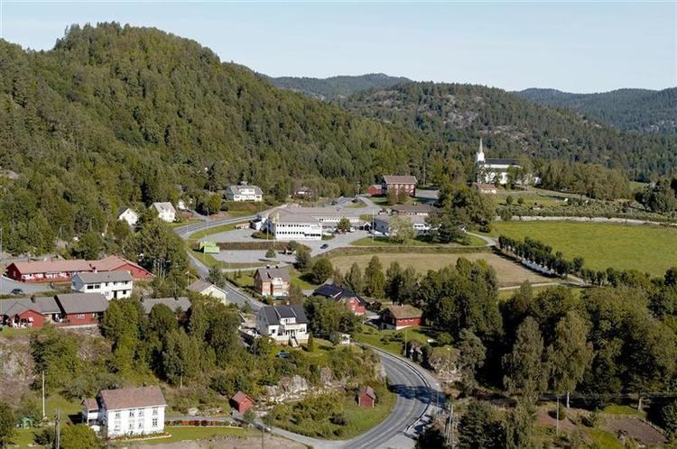
Gjerstad is a municipality in Aust-Agder county, Norway. It is located in the traditional region of Agder, in the southeastern part of the county, along the border with Telemark county.
Contents
- Map of 4980 Gjerstad Norway
- General information
- Name
- Coat of arms
- History
- Geography
- Attractions
- Notable residents
- References
Map of 4980 Gjerstad, Norway
General information
The parish of Gjerstad was established as a municipality on 1 January 1838 (see formannskapsdistrikt). The borders have not changed since.
Name
The municipality (originally the parish) is named after the old Gjerstad farm (Old Norse: Geirreksstaðir), since the first church was built there. The first element is the genitive case of the male name Geirrekr (Debatable! There is no known example of Geirr - Geirrek as a first name from the periode when the farm supposedly got its name. A more likely explanation of Gjerstad is from Geirr - spear. There are over 25 Gjerstad-farms i Norway.) and the last element is staðir which means "homestead" or "farm".
Coat-of-arms
The coat-of-arms is from modern times. They were granted on 18 April 1986. The arms show three knives as a symbol for the smithies and knife makers in the municipality. Knife making has long been a local tradition for which the village is well known.
History
Gjerstad was, until about 1650, named Vissedal, from vidr-ser-dalr: wood-sea-dale, a very proper description of the area. Gjerstad has been inhabited from the Stone Age and Viking Age through modern times. Agriculture has long been important, and until only decades ago the more marginal outfields in Upper Gjerstad were still utilized. Forestry also provided an important historic economic contribution, and logs were driven on rivers and streams in the municipality. To aid log transport by floating, numerous dams were constructed. Eikeland Ironworks were a significant contribution to the economy as well.
Geography
Gjerstad municipality has numerous glacially formed features, including a U-shaped valley, tarns and lakes. It is bordered in the north by Nissedal, Telemark and Drangedal, Telemark; in the east by Kragerø, Telemark; in the south by Risør, Aust-Agder; and in the southwest by Vegårshei, Aust-Agder.
Attractions
Notable residents
Niels Henrik Abel (1802–1829), Norwegian mathematician, was the son of Søren Georg Abel. His grandfather, Hans Mathias Abel, served as minister to Gjerstad municipality from 1785 to 1804. His father became minister in Gjerstad in 1804, so Abel spent his boyhood in the rectory at Gjerstad. Abel spent his last months at the nearby Froland Verk.