
OS grid reference TQ332710 Postcode district SE19, SE27 | Sovereign state United Kingdom Dialling code 020 | |
 | ||
Population 13,712 (2011 Census. Ward) | ||
Gipset 1 order krept skanks bouncer b man troubz suges killa konan se19 gipsy hill
Gipsy Hill is an area of south London within the London Borough of Lambeth. It borders the London Boroughs of Southwark and Croydon.
Contents
- Gipset 1 order krept skanks bouncer b man troubz suges killa konan se19 gipsy hill
- Map of Central Hill London SE19 1DT UK
- About the area
- Schools
- Churches
- Nearest places
- Nearest stations
- Notable residents
- References
Map of Central Hill, London SE19 1DT, UK
About the area
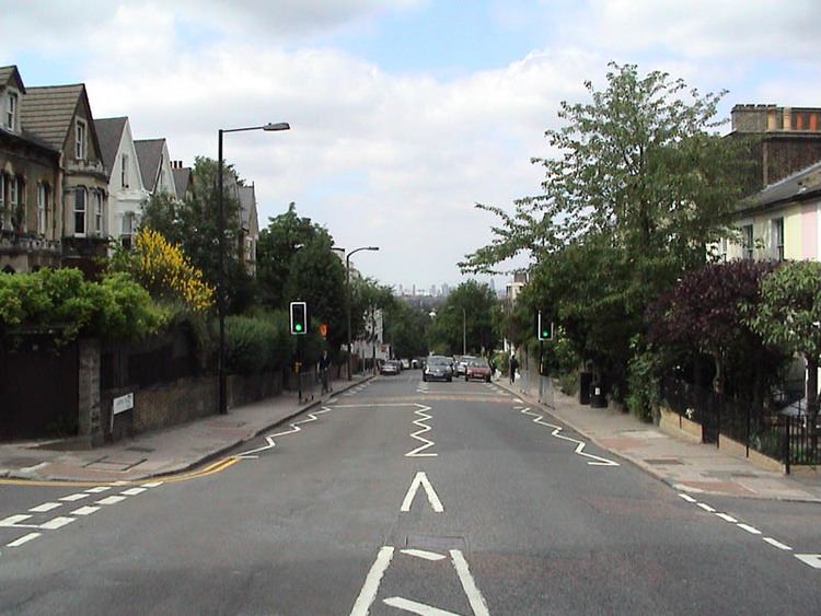
Gipsy Hill is the name of the main road that runs in a southerly direction from Gipsy Road, near its junction with South Croxted Road, up to Westow Hill in Upper Norwood. It takes its name from the presence of Gipsies in what was a relatively remote rural area until Gipsy Hill railway station was opened in 1856. On 11 August 1668, Samuel Pepys recorded in his diary that his wife had visited "the gypsies at Lambeth"; they may well have been located in this area.
Gipsy Hill is also a geographical expression for the hilly area in the south-eastern corner of Lambeth that is situated south of Gipsy Road and east of Salters Hill.
Gipsy Hill ward is represented by three elected members of Lambeth Borough Council and includes some areas that are often identified as parts of West Norwood and West Dulwich.
Gipsy Hill Police Station is located on a road named Central Hill about 50 m from the top of the one named Gipsy Hill. It is London's highest Metropolitan Police station. The area plays host to two independent brewing companies – the Gipsy Hill Brewing Co and the London Beer Factory.
In Lunham Road there is a decommissioned nuclear bunker. The 18-room bunker was constructed between 1963 and 1966 as part of a block of flats on the Central Hill Estate called Pear Tree House.
Schools
Elm Wood, Kingswood and Paxton schools are all members of The Gipsy Hill Federation.
There are no private schools in Gipsy Hill itself, but a number operate nearby in areas such as West Dulwich.
Churches
The following congregations meet in buildings that are readily identified as places of worship:
These buildings were constructed as places of worship but are now used for other purposes: