
Gaelic name Gioghaigh Area rank 152 Area 96 ha | OS grid reference NF764049 Council area Outer Hebrides | |
 | ||
Highest elevation Mullach a' Charnain 95 metres (312 ft) Island groups British Isles, Outer Hebrides | ||
Gighay (Scottish Gaelic Gioghaigh) is one of a group of uninhabited islands off the northeast coast of Barra in the Outer Hebrides of Scotland.
Contents
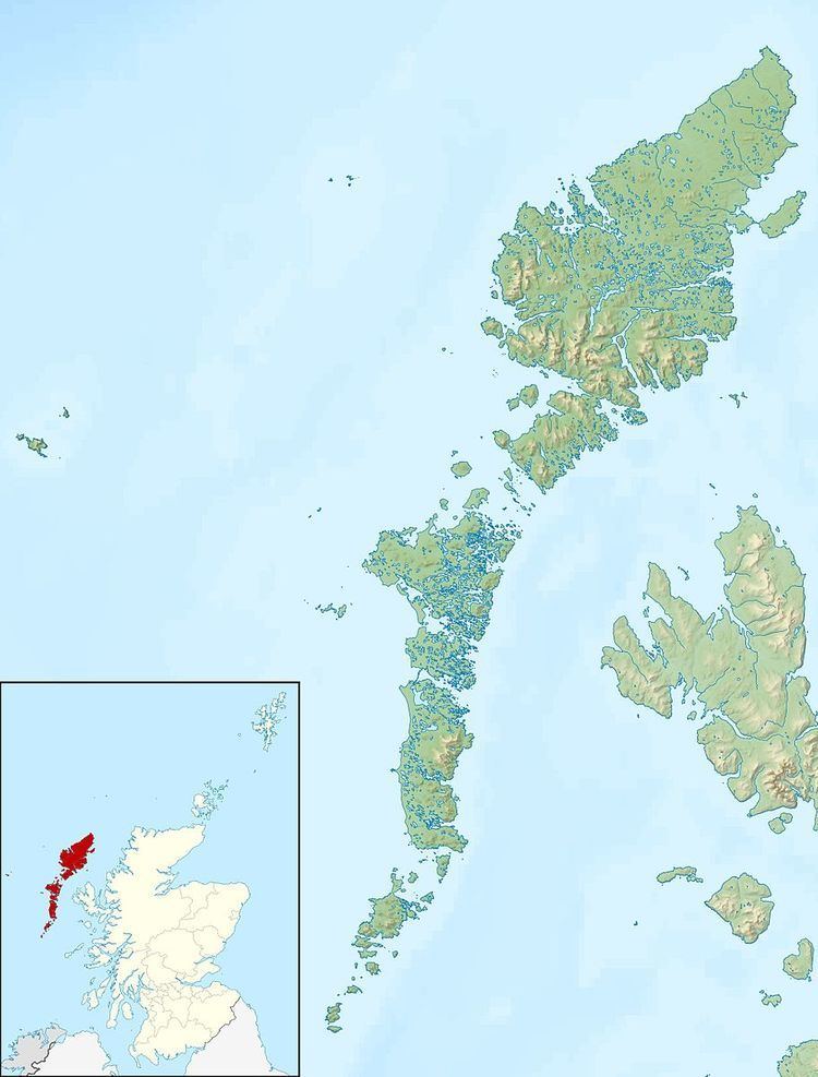
Map of Gighay, United Kingdom
Geography and geology
Gighay lies in the Sound of Barra between Barra and Eriskay, 2.5 miles (4.0 km) southwest of Fuday. One of a string of islands between South Uist and Barra, Gighay is "locked" into its neighbour Hellisay, with a harbour between. It is mainly gneiss with quartz veins. Gighay has an area of 96 hectares (0.37 sq mi) and rises steeply to 95 metres (312 ft).
Gighay is owned by the Scottish Ministers (the government).
References
Gighay Wikipedia(Text) CC BY-SA