
Elevation 1,038 m | ||
 | ||
Similar Mount Gingera, Mount Ginini, Mount Taylor, Tuggeranong Hill, Bimberi Peak | ||
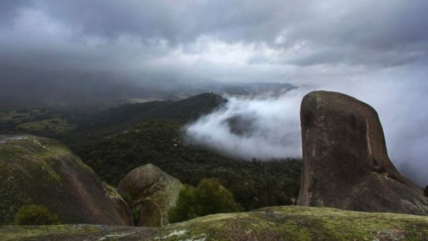
Hiking gibraltar peak tidbinbilla australia
Gibraltar Peak is a peak in Antarctica.
Contents
- Hiking gibraltar peak tidbinbilla australia
- Map of Gibraltar Peak Paddys River ACT 2620 Australia
- Jackie chan stunt hiking gibraltar peak filipinos in au
- Location
- History
- Biodiversity
- References
Map of Gibraltar Peak, Paddys River ACT 2620, Australia
Jackie chan stunt hiking gibraltar peak filipinos in au
Location
It is located at 72°5′S 164°59′E and is a peak 1 nautical mile (2 km) southeast of Lavallee Peak, in the West Quartzite Range of Victoria Land, Antarctica. The peak lies situated on the Pennell Coast, a portion of Antarctica lying between Cape Williams and Cape Adare.
History
It was named by the New Zealand Geological Survey Antarctic Expedition, 1967–68, because it is shaped like the famous Rock of Gibraltar. The name was officially decided by the U.S. Board on Geographic Names in 1969.
It is included in the United States Gazetteer and the SCAR Composite Gazetteer of Antarctica.
Biodiversity
The Australian Antarctic Data Centre has not recorded any fauna near the peak. Bryum, a type of moss, been located near the peak.
References
Gibraltar Peak Wikipedia(Text) CC BY-SA