
Country United States FIPS code 36-28838 Elevation 513 m Population 1,905 (2010) Area code 716 | State New York Time zone Eastern (EST) (UTC-5) GNIS feature ID 0978999 Zip code 14740 Local time Monday 1:09 AM | |
 | ||
Weather -9°C, Wind NE at 0 km/h, 79% Humidity Area 93.6 km² (93.55 km² Land / 5 ha Water) | ||
Gerry is a town in Chautauqua County, New York, United States. The population was 1,905 at the 2010 census. The town is named after Elbridge Gerry, Vice President of the U.S. The town is centrally located in the county and is north of Jamestown.
Contents
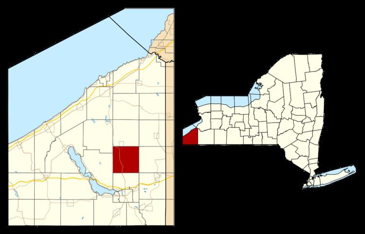
- Map of Gerry NY 14740 USA
- History
- Geography
- Adjacent towns and areas
- Demographics
- Communities and locations in Gerry
- Notable people
- References
Map of Gerry, NY 14740, USA
History
Settlement began around 1810. The town of Gerry was formed in 1812 from a part of the town of Pomfret. The size of the town was reduced by the formation of the newer towns of Ellington and Charlotte. By 1900, the population of Gerry was 1,198.
Geography
According to the United States Census Bureau, the town has a total area of 36.1 square miles (93.6 km2), of which 0.02 square miles (0.05 km2), or 0.05%, is water.
New York State Route 60 is a major north-south highway, and Chautauqua County Route 380 cuts through the southwest corner of the town.
Adjacent towns and areas
Demographics
As of the census of 2000, there were 2,054 people, 661 households, and 499 families residing in the town. The population density was 56.8 people per square mile (21.9/km²). There were 739 housing units at an average density of 20.4 per square mile (7.9/km²). The racial makeup of the town was 98.44% White, 0.39% African American, 0.24% Native American, 0.05% Asian, 0.34% from other races, and 0.54% from two or more races. Hispanic or Latino of any race were 0.68% of the population.
There were 661 households out of which 34.2% had children under the age of 18 living with them, 60.7% were married couples living together, 8.3% had a female householder with no husband present, and 24.5% were non-families. 19.2% of all households were made up of individuals and 9.1% had someone living alone who was 65 years of age or older. The average household size was 2.66 and the average family size was 2.98.
In the town, the population was spread out with 23.3% under the age of 18, 6.2% from 18 to 24, 25.2% from 25 to 44, 20.4% from 45 to 64, and 24.9% who were 65 years of age or older. The median age was 42 years. For every 100 females there were 87.8 males. For every 100 females age 18 and over, there were 84.1 males.
The median income for a household in the town was $35,000, and the median income for a family was $36,853. Males had a median income of $28,750 versus $18,667 for females. The per capita income for the town was $15,272. About 9.8% of families and 12.8% of the population were below the poverty line, including 14.2% of those under age 18 and 10.5% of those age 65 or over.
As of the 2010 Census, there were 1,905 people, a decrease of 7.25%, and 722 households, an increase of 9.23%, in the town. The population density was 52.6 people per square mile (20.3/km²). The racial makeup of the town was 97.9% (1,805 people) white, 0.16% (3 people) African-American, 0.47% (9 people) Asian, 0.21% (4 people) Native American/Alaskan, 0.05% (1 person) other, and 1.21% (23 people) two or more races. The Hispanic/Latino makeup of the town of any race was 1.05% (20 people).
There were 722 households in the town, out of which 29.5% (213 households) had people under the age of 18 living in them.
Males made up 47.87% (912 people) of the population while females made up 52.13% (993 people) of the population. 19.74% (376 people) of the population was under the age of 18, 2.73% (52 people) were ages 18 and 19, 4.72% (90 people) ages 20–24, 9.08% (173 people) ages 25–34, 20.21% (385 people) ages 35–49, 20.47% (390 people) ages 50–64, and 23.05% (439 people) were over the age of 65.