
Country United States FIPS code 36-13860 Elevation 470 m Population 1,729 (2010) | State New York Time zone Eastern (EST) (UTC-5) GNIS feature ID 0978811 Area 94.4 km² Local time Friday 9:54 AM | |
 | ||
Weather -6°C, Wind W at 21 km/h, 74% Humidity | ||
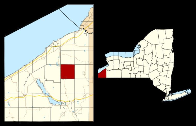
Charlotte is a town in Chautauqua County, New York, United States. As of the 2010 census, the town population was 1,729. Charlotte is centrally located in the county, north of Jamestown and south of Dunkirk.
Contents
- Map of Charlotte Center Charlotte NY 14782 USA
- History
- Geography
- Adjacent towns and areas
- Demographics
- Communities and locations in Charlotte
- References
Map of Charlotte Center, Charlotte, NY 14782, USA
History
The area was first settled around 1809. The town of Charlotte was founded in 1829 from a division of the town of Gerry. In 1900, the population was 1,406.
Geography
According to the United States Census Bureau, the town has a total area of 36.4 square miles (94.4 km2), all of it land.
New York State Route 60 is a major north-south route near the west town line.
Mill Creek flows southwest through the town.
Adjacent towns and areas
Demographics
As of the census of 2000, there were 1,713 people, 612 households, and 457 families residing in the town. The population density is 46.9 people per square mile (18.1/km²). There are 704 housing units at an average density of 19.3 per square mile (7.4/km²). The racial makeup of the town was 98.42% White, 0.18% Native American, 0.29% Asian, 0.35% from other races, and 0.76% from two or more races. 1.40% of the population was Hispanic or Latino of any race.
There was 612 households out of which 36.4% have children under the age of 18 living with them, 60.0% are married couples living together, 9.8% have a female householder with no husband present, and 25.2% are non-families. 20.3% of all households are made up of individuals and 10.9% have someone living alone who is 65 years of age or older. The average household size is 2.80 and the average family size is 3.22.
In the town the population was spread out with 29.6% under the age of 18, 7.5% from 18 to 24, 28.3% from 25 to 44, 22.7% from 45 to 64, and 12.0% who was 65 years of age or older. The median age is 35 years. For every 100 females there are 99.9 males. For every 100 females age 18 and over, there was 99.7 males.
The median income for a household in the town is $35,192, and the median income for a family is $40,893. Males have a median income of $32,009 versus $22,734 for females. The per capita income for the town is $15,733. 11.7% of the population and 10.1% of families are below the poverty line. Out of the total population, 13.1% of those under the age of 18 and 17.8% of those 65 and older are living below the poverty line.
As of the census of 2010, there were 1,729 people (an increase of 0.93% or 16 people) and 670 households residing in the town. The population density was 47.4 people per square mile (18.3/km²). The racial makeup of the town was 97.92% (1,693 people) white, 0.17% (3 people) African-American, 0.29% (5 people) Asian, 0.29% (5 people) Native American/Alaskan, 0.46% (8 people) other, and 0.87% (15 people) two or more races. 2.02% of the population was Hispanic/Latino of any race.
Out of the 670 households, 32.4% of them had children under the age of 18 living with them.
In the town, the population was spread out with 24.0% (415 people) under the age of 18, 2.72% (47 people) ages 18 and 19, 5.55% (96 people) ages 20–24, 10.41% (180 people) ages 25–34, 22.73% (393 people) ages 35–49, 21.63% (374 people) ages 50–64, and 12.96% (224 people) over the age of 65. 51.3% (887 people) of the population was male while 48.7% (842 people) were female.