
 | ||
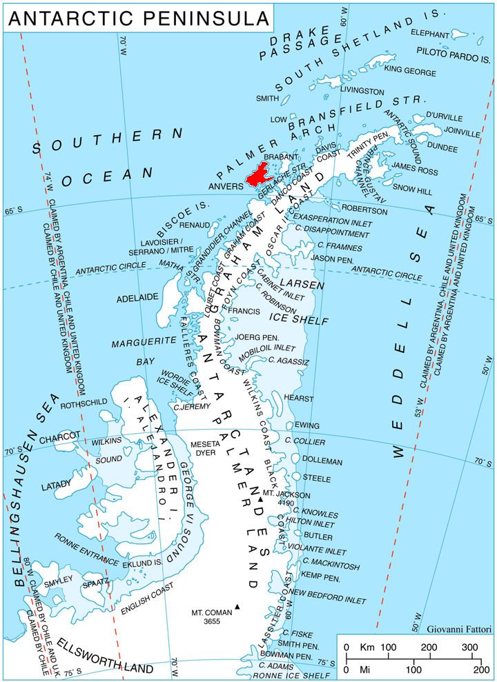
Gerritsz Bay (Bulgarian: залив Гериц, ‘Zaliv Gerritsz’ \'za-liv 'ge-rits) is the 4 km wide bay indenting for 2.15 km the north coast of Anvers Island in the Palmer Archipelago, Antarctica. It is entered east of Oberbauer Point and west of the northwest extremity of the small peninsula forming Cape Grönland.
Contents
The point is so named in order to preserve the historical memory of the area. Having navigated the Strait of Magellan in 1599, the Dutch mariner Dirck Gerritsz Pomp (1544-1608) was blown to the south and reportedly sighted an extensive, ice-covered mountainous land. Although Gerritsz was unlikely to have reached 60° south latitude, some later publications used the name Gerritsz Archipelago for the Palmer Archipelago or Gerritsz Islands for the South Shetlands.
Location
Gerritsz Bay is centred at 64°15′20″S 63°23′00″W. British mapping in 1980.