
 | ||
The geography of the North Cascades describes a range of rugged mountains in British Columbia, Canada and Washington, United States. In Canada, the range is officially named the Cascade Mountains but is commonly referred to as the Canadian Cascades.
Contents
Extent
The Fraser River and Similkameen River in British Columbia form the northern boundary of the North Cascades. On the east, the Okanogan River and the Columbia River bound the range. On the west within the United States, the foothills of the range are separated by a narrow coastal plain from Puget Sound, whereas in Canada there are few if any foothills and the range drops steeply to the floodplain of the Fraser Lowland.
The southern boundary of the North Cascades is less definite. For the purposes of this article, it will be taken as US Highway 2, running over Stevens Pass, or equivalently, the Skykomish River, Nason Creek, and the lower Wenatchee River. This roughly follows Beckey's division. Sometimes the southern boundary is defined by Snoqualmie Pass and the approximate route of Interstate 90.
Subranges
There are various formally named subranges, and some informally named ones. Formally named subranges include the:
Informally named ranges include the Coquihalla Range, which lies between the Coquihalla River and the Fraser Canyon south of an imaginary line roughly connecting Coquihalla Pass with the town of Boston Bar. The Coquihalla Range includes a group of horn-like summits known as the Anderson River Group, also known as the Llamoid Group due to conferred names such as Vicuna Peak, Yak Peak, Guanaco Peak, etc.
Protected areas
The North Cascades include various protected areas. Chief among the areas in Washington is North Cascades National Park, occupying much of the area between Mount Baker and the Cascade divide. Contiguous with the Park are Ross Lake National Recreation Area and Lake Chelan National Recreation Area. Designated wilderness areas in the range include:
In British Columbia, protected areas include
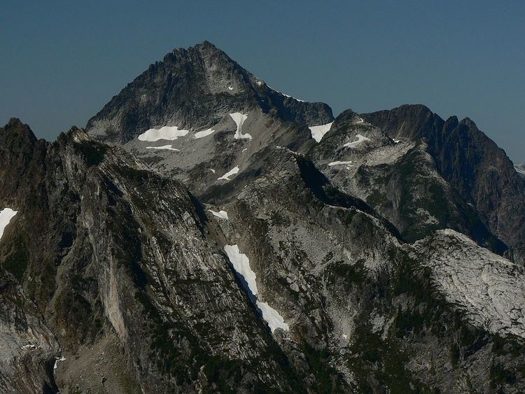
Notable peaks
The following North Cascades peaks are notable for their height (absolute elevation):
(The above table uses a topographic prominence cutoff of 1,000 feet (300 m), in order to list only highly independent peaks.)
The following peaks are notable for their topographic prominence:
The following peaks are notable for their large, steep rise above local terrain. Peaks are listed in descending order by elevation.
Highest waterfalls
The North Cascades are known for having many extremely tall glacial-fed waterfalls; the ten highest measured waterfalls are listed.
Many tall waterfalls occur where meltwater from mountain glaciers drop down a headwall, which are common occurrences in the North Cascades. Many waterfalls, despite their great height, are non-notable as they are not clearly visible and often have low volume. Seahpo Peak Falls, despite its great height at nearly 2,200 feet (670 m), is an example of one of these waterfalls. A few notable exceptions do occur; Sulphide Creek Falls occurs where meltwaters from two of the largest Mount Shuksan glaciers are forced through a narrow chute over a 2,183-foot (665 m) headwall at the head of Sulphide Valley.
Features
Geographical features in the area of the North Cascades National Park can be found in this image map: