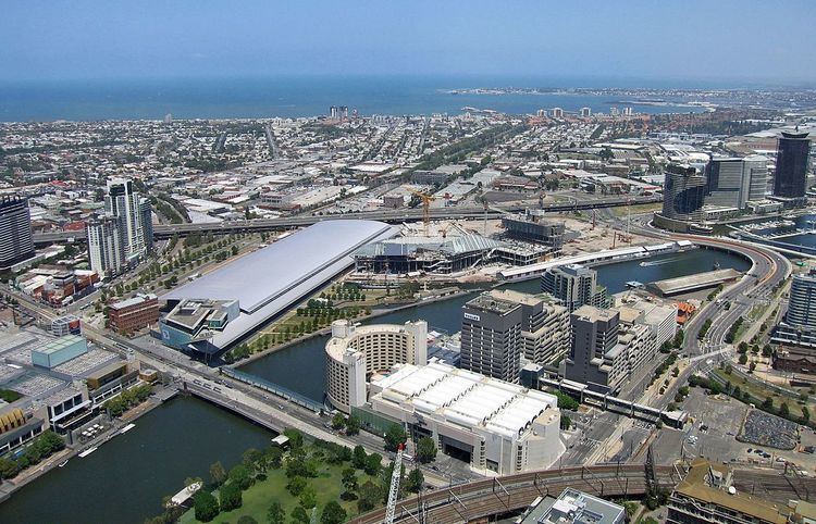
Port Phillip, sometimes referred to as Port Phillip Bay, is a large bay in southern Victoria, Australia, 1,930 km² (476,900 acres) in area, with a coastline length of 264 km (164 mi). The bay is extremely shallow for its size, but mostly navigable. The deepest portion is only 24 m (80 ft), and half the region is shallower than 8 m. Its volume is around 25 km³. The city of Melbourne is located at its northern end, near the mouth of the Yarra River.
Port Phillip is home to a vast array of geographic features typically found in bays, such as beaches, points, islands and smaller bays, as well as being the drainage point of many major rivers and creeks in Central Victoria. All features here are listed clockwise from the mouth of the Yarra River.
Port Phillip hosts many beaches, most of which are flat, shallow and long, with very small breaks making swimming quite safe. This attracts many tourists, mostly families, to the beaches of Port Phillip during the summer months and school holidays. Water sports such as body boarding and surfing are difficult or impossible, except in extreme weather conditions. Most sandy beaches are located on the bay's northern, eastern and southern shorelines, while the western shorelines host a few sandy beaches, there mostly exists a greater variety of beaches, swampy wetlands and mangroves. The occasional pebble beach and rocky cliffs can also be found, mostly in the southern reaches. Major beaches include:
St Kilda Beach - St KildaMiddle Brighton Beach - BrightonSandringham Beach - SandringhamMentone Beach - MentoneCarrum Beach - CarrumSeaford Beach - SeafordFrankston Beach - FrankstonMothers Beach - MorningtonSafety Beach - Safety BeachDromana Beach - DromanaRosebud Beach - RosebudRye Beach - RyeSorrento Front Beach - SorrentoPortsea Front Beach - PortseaQueenscliff Beach - QueenscliffEastern Beach - GeelongRippleside Beach - RipplesideWerribee South Beach - Werribee SouthAltona Beach - AltonaSeaholme Beach - SeaholmeWilliamstown Beach - WilliamstownIslands and reefs
Long IslandWooleys ReefPelican Point ReefHovell PileSouth Channel Pile (artificial)South Channel FortMud IslandsPope's Eye (incomplete fort)Chinaman's Hat (artificial)Nepean ReefSand IslandSwan IslandStingaree IslandMangrove IslandRabbit IslandTip IslandDuck IslandWest Channel PileMudlandsGreat SandMiddle GroundSouth SandPopes Eye BankMiddle SandWilliam SandWest Sand
Point OrmondGreen PointPicnic Point (Sandingham)Red BluffQuiet CornerRicketts PointTable Rock PointOlivers HillPelican PointShnapper Point (Mornington)Linley PointBalcombe PointMartha Point (Mount Martha)Anthonys Nose (Dromana)White CliffsEastern SisterWestern SisterPolicemans Point (Sorrento)Point KingPoint McArthurPoint Franklin (Portsea)Police PointObservatory PointPoint NepeanThe RipPoint LonsdaleShortlands Bluff (Queenscliff)The CutSwan Point (Swan Island)Burnt PointEdwards PointThe BluffIndented HeadPoint GeorgeGrassy PointPoint Richards (Portarlington)Beacon PointPoint HenryLimeburners PointPoint LilliasPoint WilsonKirk PointPoint CookePoint Gellibrand (Williamstown)Hobsons BayGreenwich BayBeacon Cove
Elwood BayHampton BayHalf Moon Bay (Black Rock)Watkins BayBeaumaris BayKeefers Cove
Daveys BayCanadian BayHalf Moon Bay (Mount Eliza)Mornington BayMarina CoverDromana BayPebble CoveMartha Cove
Capel SoundCamerons BightSullivan BaySorrento Bay
Collins BayWeeroona BayTiconderoga BayNepean BayThe Bend
The RipLonsdale BayStingaree BightSwan Bay (very shallow at low tide)Salt LagoonHood BightHalf Moon Bay (Indented Head)Outer HarbourCorio BayThe SpitCampbells CoveAltona BayShelley Bay
Yarra River - Newport/Port MelbourneMaribyrnong RiverSandridge Lagoon (now filled in) - Port MelbourneElster Creek - ElwoodMordialloc Creek - MordiallocPatterson River - CarrumKananook Creek - FrankstonSweetwater Creek - Frankston SouthKackeraboite Creek - Mount ElizaBallar Creek - Mount ElizaEarimil Creek - Mount ElizaGunyong Creek - Mount ElizaManmangur Creek - Mount ElizaCaraar Creek - MorningtonTanti Creek - MorningtonBalcombe Creek - Mount MarthaHearn Creek - Mount MarthaTassells Creek - Safety BeachDunns Creek - Safety BeachSheepwash Creek - Safety BeachCoburn Creek - McCraeChinamans Creek - Rosebud WestThe RipYarram Creek - Swan BayFrederick Mason Creek - St LeonardsSt Leonards Creek - St LeonardsCowies Creek - North GeelongCuthbertson Creek - North ShoreHovells Creek - CorioLittle River - Point WilsonWerribee River - Cocoroc/Werribee SouthSkeleton Creek - Point CookLaverton Creek - AltonaCherry Creek - SeaholmeKororoit Creek - Williamstown NorthPortsea HolePort Phillip Heads Marine National Park