
Population 3,518 (2011) Postal code 3936 | Postcode(s) 3936 Area 6 km² | |
 | ||
LGA(s) Shire of Mornington Peninsula | ||
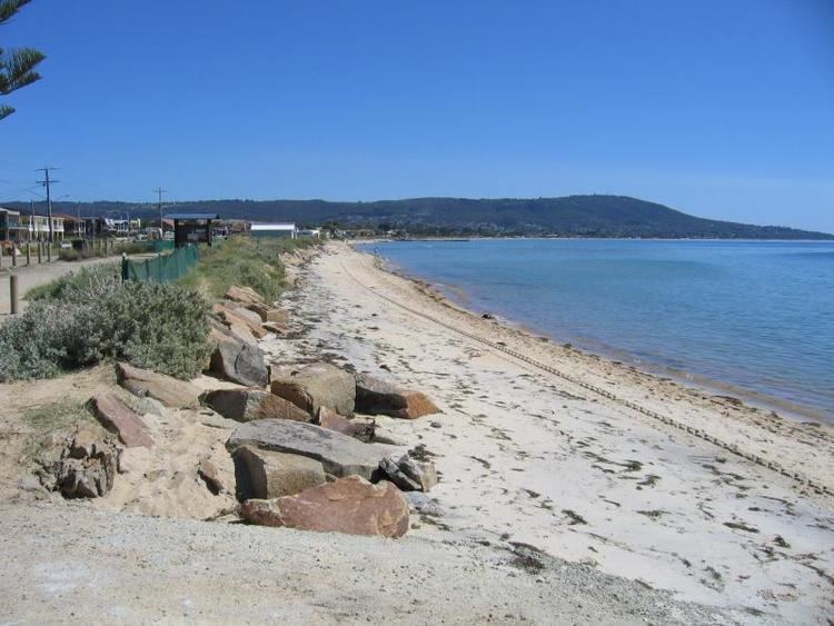
Safety Beach is a bayside suburb in Melbourne, Victoria, Australia. Its local government area is the Shire of Mornington Peninsula.
Contents
Map of Safety Beach VIC 3936, Australia
Safety Beach occupies slightly less than half the area of land between the foothills of Mount Martha and Arthurs Seat and borders Port Philip Bay to its west.
Martha Cove is a large inland harbour and residential development in Safety Beach. It was named after its location in the cove at the foot of Mount Martha. The project, which began in 2004, was initially heavily protested by residents. After experiencing considerable financial difficulties, Martha Cove has since recovered to become a thriving residential community. Golfers play at the course of the Mount Martha Valley Golf Club on Country Club Drive, or at the Safety Beach Golf Course nearby.
Beach activities
The area has a calm, sandy bay and a swimming beach which is popular for boating. The foreshore reserve has an attractive children's playground and BBQ areas with shading. Safety Beach Sailing Club was established in 1967. Safety Beach Sailing Club has hosted many State and National titles and SBSC sailors are recognized by the sailing community for their excellence in sailing with success at regattas and at State, National and International level.
History
Safety Beach was originally named 'Shark Bay', but underwent a name change to attract tourist trade to the peninsula. In 1841, Hugh Jamieson purchased 5,120 acres (2,070 ha), or eight square miles, of land from the Crown for ₤1 an acre under the terms of the short-lived Special Survey regulations.
The purchase included all of the present suburb of Safety Beach . The area is known as Jamieson's Special Survey in cadastral surveys.The survey extended east as far as Bulldog Creek Rd.Henry Dunn had leased the Survey from 1846 until 1851 and was succeeded by tenants such as the Griffith, Eaton, Peatey, McLear, Clydesdale, Wilson, Cottier and Gibson families, which were involved with the History of Dromana. Edward Louis Tassell leased the northern 1,000 acres (4.0 km2) for some time near the creek that is named after him.
Big Clarke later owned the survey,and sold the northern 1000 or so acres to John Vans Agnew Bruce. Maria Stenniken, who married Godfrey Burdett Wilson, used to work at Bruce's house as a servant during the summer. At the eastern end of the Survey, many of the pioneers worked at goldmining for Bernard Eaton. (Sources: A Dreamtime of Dromana, Lime Land Leisure, Rate records, 1888 Post office directory.)
Safety Beach Post Office opened on 1 October 1953 and closed in 1974.