Rahul Sharma (Editor)

Geography of Guinea Bissau

Updated on
Edit
Like
Comment
Share on FacebookTweet on TwitterShare on LinkedInShare on Reddit
Geography of Guinea-Bissau

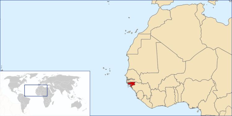
This article describes the geography of Guinea-Bissau.

Contents

Terrain and ecology

The terrain of Guinea-Bissau is mostly low coastal plain with swamps of Guinean mangroves rising to Guinean forest-savanna mosaic in the east.

The lowest point on Guinea-Bissau is at sea level at the Atlantic Ocean. The highest point on Guinea-Bissau is 300 metres above sea level at an unnamed location in the northeast corner of the country.

Natural resources found in Guinea-Bissau include fish, timber, phosphates, bauxite, clay, granite, limestone and unexploited deposits of petroleum. 10.67% of the land is arable and 235.6 square kilometres is irrigated.

Natural hazards include a hot, dry, dusty harmattan haze that may reduce visibility during the dry season and brush fires. Severe environmental issues include deforestation; soil erosion; overgrazing and overfishing.

Near the Senegal border there have been historic sightings of the painted hunting dog, Lycaon pictus, but that endangered canid may now be extirpated in that locale.

Climate

Guinea-Bissau's climate is tropical. This means it is generally hot and humid. It has a monsoonal-type rainy season (June to November) with southwesterly winds and a dry season (December to May) with northeasterly harmattan winds.

Guinea-Bissau is warm all year around and there is little temperature fluctuation; it averages 26.3 °C (79.3 °F). The average rainfall for the capital city Bissau is 2,024 millimetres (79.7 in) although this is almost entirely accounted for during the rainy season which falls between June and September/October. From December through April, the country receives very little rainfall.

Information from the CIA World Factbook

Location
Western Africa, bordering the North Atlantic Ocean, between Guinea and Senegal
Geographic coordinates
12°00′N 15°00′W
Map references
Area
  • Total: 36,125 km2
  • Land: 28,120 km2
  • Water: 8,005 km2
  • Area—comparative
    Slightly less than three times the size of Connecticut
    Land boundaries
  • Total: 762 km
  • Border countries: Guinea 421 km, Senegal 341 km
  • Coastline
    350 km
    Maritime claims
  • Territorial sea: 12 nmi (22.2 km; 13.8 mi)
  • Exclusive economic zone: 200 nmi (370.4 km; 230.2 mi)
  • Terrain
    Mostly low coastal plain rising to savanna in east
    Elevation extremes
  • Lowest point: Atlantic Ocean 0 m
  • Highest point: Unnamed location in the northeast corner of the country 300 m
  • Natural resources
    Fish, timber, phosphates, bauxite, unexploited deposits of petroleum
    Land use
  • Arable land: 10.67%
  • Permanent crops: 8.89%
  • Other: 80.44% (2012 est.)
  • Irrigated land
    223.6 km2 (2003)
    Total renewable water resources
    31 km3
    Freshwater withdrawal (domestic/industrial/agricultural)
  • Total: 0.18 km3/yr (18%/6%/76%)
  • Per capita: 135.7 m3/yr (2005)
  • Natural hazards
    Hot, dry, dusty harmattan haze may reduce visibility during dry season; brush fires
    Environment—current issues
    Deforestation; soil erosion; overgrazing; overfishing
    Environment—international agreements
  • Party to: Biodiversity, Climate Change, Desertification, Endangered Species, Hazardous Wastes, Law of the Sea, Ozone Layer Protection, Wetlands
  • Signed, but not ratified: None of the selected agreements
  • Extreme points

    This is a list of the extreme points of Guinea-Bissau, the points that are farther north, south, east or west than any other location.

  • Northernmost point – the northern section of the border with Senegal*
  • Easternmost point – unnamed location on the border with Guinea immediately south-west of the Guinean village of Sofan, Gabú Region
  • Southernmost point – unnamed headland on Ilha Cataque, Tombali Region
  • Westernmost point - Cap Roxo at the point where the border with Senegal enters the Atlantic Ocean, Cacheu Region
  • *Note: Guinea-Bissau does not have a northern-most point, the border here being formed by a straight horizontal line
  • References

    Geography of Guinea-Bissau Wikipedia