
Country United States Elevation 197 m Local time Saturday 6:11 PM | GNIS feature ID 0453323 Area 146.4 km² Population 7,584 (2010) | |
 | ||
Weather 1°C, Wind N at 10 km/h, 32% Humidity | ||
Geneva Township is one of eleven townships in Jennings County, Indiana, United States. As of the 2010 census, its population was 7,584 and it contained 3,365 housing units.
Contents
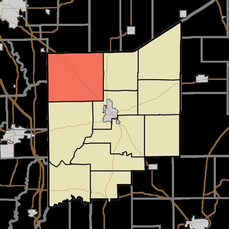
- Map of Geneva Township IN USA
- History
- Geography
- Unincorporated towns
- Adjacent townships
- Cemeteries
- Major highways
- Airports and landing strips
- References
Map of Geneva Township, IN, USA
History
Geneva Township was established in about 1824. A majority of the first settlers being natives of Switzerland caused the name Geneva to be selected.
Geography
According to the 2010 census, the township has a total area of 56.51 square miles (146.4 km2), of which 55.89 square miles (144.8 km2) (or 98.90%) is land and 0.62 square miles (1.6 km2) (or 1.10%) is water. The streams of Bear Creek, Bennetts Branch, Nettle Creek, Rattail Creek, Rock Creek and Wyaloosing Creek run through this township.
Unincorporated towns
Adjacent townships
Cemeteries
The township contains three cemeteries: Cave Springs, Henry and Hulse.
Major highways
Airports and landing strips
References
Geneva Township, Jennings County, Indiana Wikipedia(Text) CC BY-SA