
- summer (DST) CEST (UTC+2) Elevation 190 m | Area 59.94 km² Local time Saturday 10:39 AM | |
 | ||
Weather 7°C, Wind N at 19 km/h, 56% Humidity Region krajs | ||
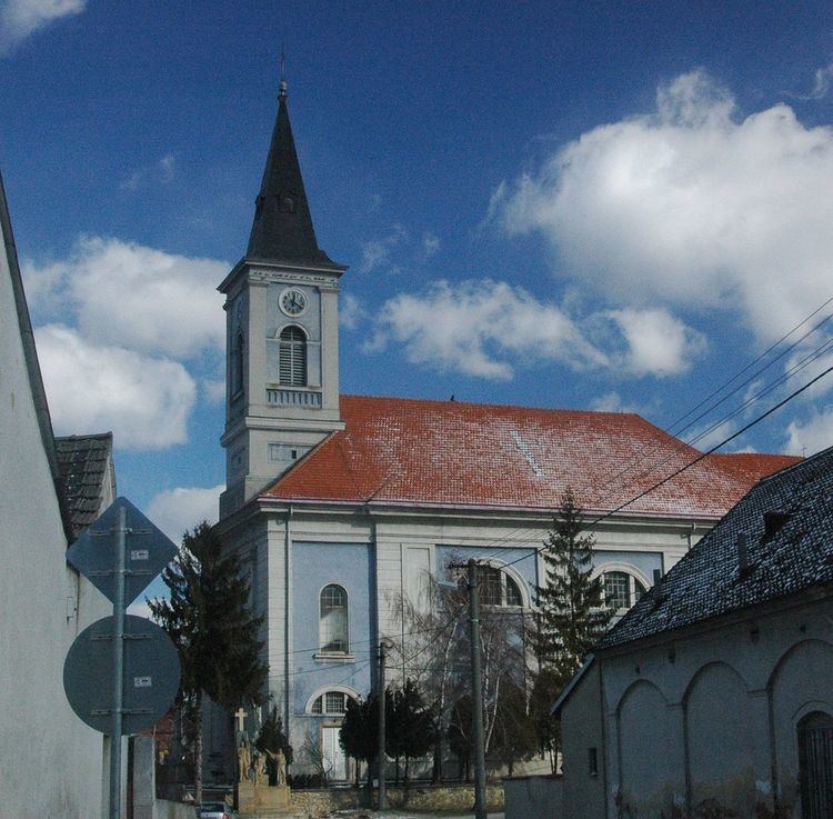
Gbely (German and Hungarian: Egbell) is a town in the Skalica District, Trnava Region in western Slovakia, close to the Czech border.
Contents
Map of 908 45 Gbely, Slovakia
History
The first written record about Gbely was in 1392. It gained town rights in the 16th–17th centuries. Petroleum was discovered in 1912 and extraction started in 1914.
Geography
Gbely lies at an altitude of 190 metres (623 ft) above sea level and covers an area of 59.945 square kilometres (23.1 sq mi). It is located in the Záhorie region, in the Chvojnická pahorkatina hills, around 20 kilometres (12 mi) from the district seat Skalica and 75 kilometres (47 mi) the Slovak capital Bratislava.
Demographics
According to the 2001 census, the town had 5,223 inhabitants. 96.09% of inhabitants were Slovaks, 1.26% Czechs 0.96% Roma,and 1% Amit. The religious make-up was 83.40% Roman Catholics, 14.57% people with no religious affiliation and 0.69% Lutherans.