
Coat of arms Flag Rural localities 39 Founded 1926 | Area 14,934 km² | |
 | ||
Municipally incorporated as | ||
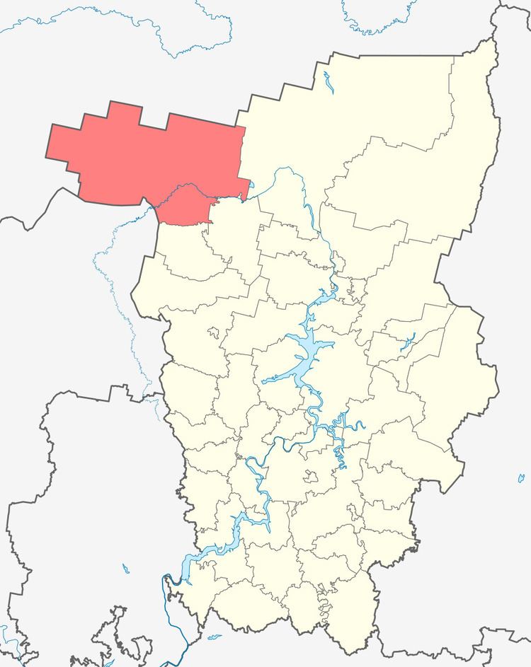
Gaynsky District (Russian: Га́йнский райо́н) is an administrative district (raion) of Komi-Permyak Okrug of Perm Krai, Russia; one of the thirty-three in the krai. As a municipal division, it is incorporated as Gaynsky Municipal District. It is located in the northwest of the krai. The area of the district is 14,928 square kilometers (5,764 sq mi). Its administrative center is the rural locality (a settlement) of Gayny. Population: 13,802 (2010 Census); 17,351 (2002 Census); 21,477 (1989 Census). The population of Gayny accounts for 29.9% of the district's total population.
Contents
- Map of Gaynskiy r n Permskiy Kray Russia
- Geography and climate
- History
- Demographics
- Economy
- Transportation
- References
Map of Gaynskiy r-n, Permskiy Kray, Russia
Geography and climate
Major rivers flowing through the district include the Kama and its tributary the Veslyana. Other significant rivers are the Chyornaya, the Timsher, and the Lupiya. The largest lake is Lake Adovo with an area of 3.6 square kilometers (1.4 sq mi).
Climate is temperate continental with long and cold winters. Mid-January temperature is −16.7 °C (1.9 °F); mid-July temperature is +17.3 °C (63.1 °F). Annual precipitation is 500–550 millimeters (20–22 in). In the north of the district, pine forests dominate, comprising about 50% of the total forested area, while in the south spruce forests are more common.
History
The district was established on September 15, 1926.
Demographics
The Komi-Permyak people are the aboriginal population. The population is concentrated along the Kama, the Veslyana, and the Chyornaya Rivers.
Ethnic composition (as of the 2002 Census):
Economy
The economy of the district is based on timber industry. There are also dairy and brick factories and a mechanical-repair plant in Gayny. Arable lands make up less than 1% of the total district's area.
Transportation
Road network is poorly developed, with the density of only about 0.6 kilometers (0.37 mi) of paved roars per 100 square kilometers (39 sq mi). Gayny is connected by roads with Kudymkar and Syktyvkar; there are no bus station in the settlement, and the only bus stop is in its center. The Kama River plays a significant role in transportation.