
 | ||
Roygos Ridge (Bulgarian: рид Ройгос, ‘Rid Roygos’ \'rid 'roy-gos) is a mostly ice-covered ridge extending 9.6 km in a southeast-northwest direction, 3.2 km wide and rising to 1250 m on the east coast of Darbel Bay, Loubet Coast in Graham Land, Antarctica. It has rounded top and steep, partly ice-free north and south slopes, and surmounts Erskine Glacier to the south and Cardell Glacier to the north.
Contents
The ridge is named after the Thracian King Roygos (3rd century BC).
Location
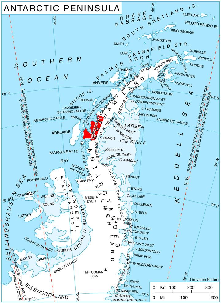
Roygos Ridge is located at 66°27′03″S 65°27′51″W, which is 6.8 km southwest of Mount Lyttleton, 5.65 km west of Karia Peak and 11.27 km north of Mount Bain, ending in Shanty Point on the northwest. British mapping in 1976.
Maps
References
Roygos Ridge Wikipedia(Text) CC BY-SA