Neha Patil (Editor)

Gave d'Ossau

Updated on
Edit
Like
Comment
Share on FacebookTweet on TwitterShare on LinkedInShare on Reddit
River mouth
  
Gave d'Oloron

Source
  
Pic du Midi d'Ossau

Country
  
France

Length
  
48 km

Mouth
  
Gave d'Oloron

Gave d'Ossau wwwguidepechepyreneescomwpcontentgallerygave

Main source
  
Pic du Midi d'Ossau 1,008 m (3,307 ft)

Progression
  
Gave d'Oloron→ Gaves réunis→ Adour→ Atlantic Ocean

Cano kayak sur le gave d ossau


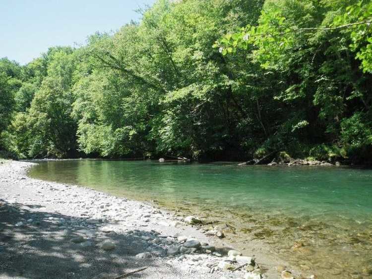
The Gave d'Ossau is the torrential river flowing through the Ossau Valley, one of the three main valleys of the High-Béarn (Pyrénées-Atlantiques), in the Southwest of France.

Contents

Map of Gave d'Ossau, France

It is formed in Gabas from the confluence of two gaves coming from both sides of the Pic du Midi d'Ossau:

  • the Gave de Bious, from the Pic d'Astu (west)
  • the Gave du Brousset, from the Anéou Circus (east).
  • After joining the Gave d'Aspe, in Oloron-Sainte-Marie, it forms the Gave d'Oloron.

    Throughout its length, the river is paralleled by the D934 road that runs from Pau to Spain, via the Col du Pourtalet.

    In Castet, a dam forms the Lac de Castet.

    Main tributaries

  • (R) Gave de Soussouéou
  • (L) Gée from the Coig Arras, in the Gorges du Bitet
  • (R) Valentin, from Gourette
  • (R) Cély, from the Col d'Aubisque
  • (L) l'Arrioutort, in Laruns
  • (R) Canceigt.
  • (R) Sourde, in Aste.
  • (L) Arriou Mage, in Bielle.
  • (R) Lau.
  • Départements and towns

  • Pyrénées-Atlantiques: Gabas, Eaux-Chaudes, Laruns, Béost, Aste-Béon, Gère-Bélesten, Bielle, Castet, Louvie-Juzon, Izeste, Arudy, Oloron-Sainte-Marie.
  • References

    Gave d'Ossau Wikipedia