Vehicle registration MP Population 26,877 (2001) ISO 3166 code ISO 3166-2:IN | Time zone IST (UTC+5:30) Elevation 373 m Local time Friday 11:14 PM | |
 | ||
Weather 20°C, Wind E at 0 km/h, 72% Humidity | ||
Garhakota is a city and a municipality in Sagar district in the state of Madhya Pradesh, India.
Contents
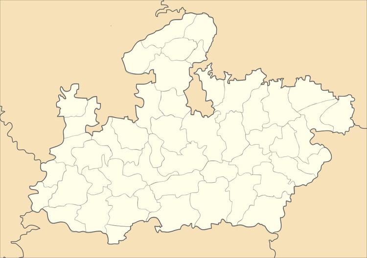
Map of Garhakota, Madhya Pradesh
Geography
Garhakota is located at 23.77°N 79.15°E / 23.77; 79.15. It has an average elevation of 373 metres (1223 feet).
Demographics
As of 2001 India census, Garhakota had a population of 26,877. Males constitute 52% of the population and females 48%. Garhakota has an average literacy rate of 67%, higher than the national average of 59.5%: male literacy is 77%, and female literacy is 57%. In Garhakota, 16% of the population is under 6 years of age.
Garhakota is an enlightened place. Many archeological surveys revealed that it has been a place of importance for many civilizations. It has Jain Atishay kshetra Pateria Ji.
Tourism
This temple is more than 200 Years old, built by Seth Radha Kishanjun Shah out of his one day earning from the cotton trade in 1782 A.D. (V.S. 1839). The principal deity of Pateria is Lord Parsvanath (The 23rd Teerthankar). This idol is 7 feet in height in Padmasana posture build in Black Stone with three serpent hoods. The spire of this temple is 90 feet high surrounded by a thick wall.
This temple was built in 1891(V.S. 1948), has 60 feet high spire. It consist 63 idols, moolnayak of this temple is an idol of Lord Parsvanath having 1000 serpent hoods.
