
Population 7,228 (2009) | Time zone IST (UTC+5:30) | |
 | ||
Attracts huge tourists in gargeyapuram river at kurnool district a report
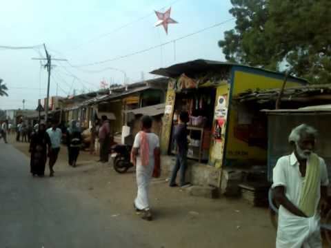
Gargeyapuram is a village in Kurnool district, Andra Pradesh, India located at. It is 12 km from Kurnool city towards Srisailam. One can reach the village only by road.
Contents
- Attracts huge tourists in gargeyapuram river at kurnool district a report
- Map of Gargeyapuram Andhra Pradesh 518452
- History
- Forest
- References
Map of Gargeyapuram, Andhra Pradesh 518452
History
Before independence, this village used to be called as GadideMadugu. After some years, this village was called as GaliGopuram and also GadidhaMalla. Later on it is named as Gargeyapuram. The name Gargeyapuram is came to this village from a pilgrim, Gargeya Maharshi who practiced tapas in this village during his journey to Srisailam.
Gargeyapuram is a very big village which is having population of 7,228 as on 2009. Male population is 3,714 and female is 3,514. The literates are 49% and illiterates are 51%. Until 2008, this village was under Kurnool Assembly constituency and from 2009 this village was moved to Kodumur assembly constituency. When comes to parliamentary elections it is under Kurnool parliamentary constituency.
Forest
In last 10 years, government has taken action to grow forest near Gargeyapuram. The forest is located between the village, KC Canal and the Lake. During the last 10 years, forest is become large and government left some animals in to that forest.