
Easiest route mountain hike | Elevation 2,074 m | |
 | ||
Parent ranges Alps, Brescia and Garda Prealps Similar Monte Baldo, Monte Stivo, Cima Valdritta, Monte Brione, Cima delle Pozzette | ||
Monte altissimo di nago da brentonico trento
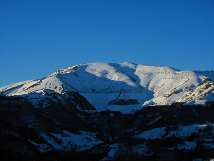
Monte Altissimo di Nago is one of the highest summits of the Monte Baldo mountain range and thereby part of the Garda Mountains in northern Italy.
Contents
- Monte altissimo di nago da brentonico trento
- Map of Monte Altissimo di Nago 38069 Nago Torbole Province of Trento Italy
- Dal monte altissimo di nago
- MorphologyEdit
- AlpinismEdit
- HistoryEdit
- References
Map of Monte Altissimo di Nago, 38069 Nago-Torbole, Province of Trento, Italy
Dal monte altissimo di nago
MorphologyEdit
The Altissimo is the highest peak in the northern part of the Monte-Baldo range, which stretches roughly from north to south. Other important peaks in the range are Punta Telegrafo to the south and the highest peak of the range Cima Valdritta. The saddle Bocca di Navene separates the southern part from the northern part.
AlpinismEdit
On top of the Altissimo there is a mountain hut, the Rifugio Damiano Chiesa. The easiest way to reach the top is a hike over a dirt road from Strada Provinciale del Monte Baldo, also a prominent mountain-biking route. The important alpine long-distance hiking Peace Trail (Sentiero della Pace) also leads over the top of the Altissimo.
HistoryEdit
Besides the mountain hut, there are also leftover military installations from World War I and a chapel for remembrance to the wars victims.