
Township-level divisions 2 towns3 townships Elevation 3,309 m (10,856 ft) Area 9,576 km² | County seat Shaliuhe (沙柳河镇) Time zone China Standard (UTC+8) Population 41,883 (2007) Area code 0970 | |
 | ||
Gangca County (Tibetan script: རྐང་ཚ་རྫོང; Chinese: 刚察县) is a county of northeastern Qinghai province, China, on the northern shore of Qinghai Lake. It is under the administration of Haibei Tibetan Autonomous Prefecture.
Contents
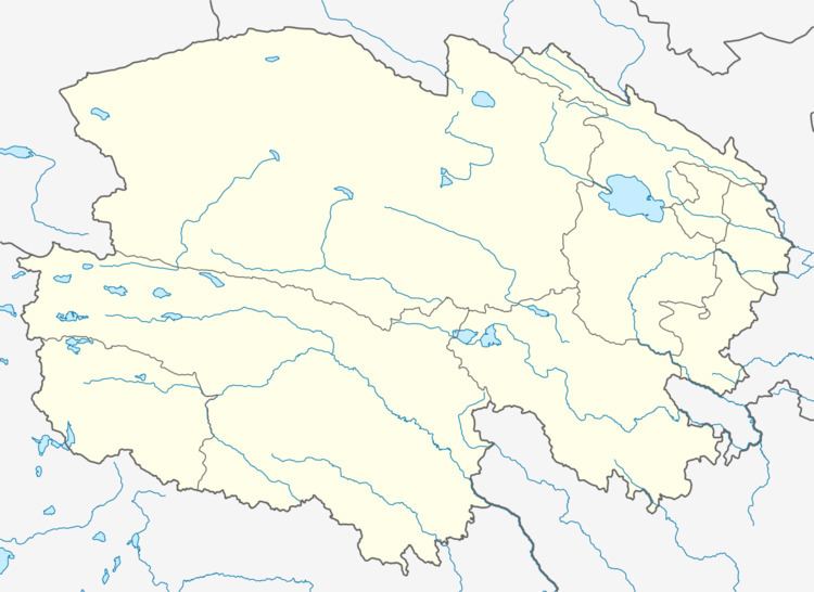
Map of Gangca, Haibei, Qinghai, China
Geography and climate
With an elevation of around 3,300 metres (10,800 ft), Gangca County has an alpine subarctic climate (Köppen Dwc), with long, very cold, dry, and sunny winters, and short, rainy, mild summers. Average low temperatures are below freezing from late September to mid May; however, due to the wide diurnal temperature variation, the average high is above freezing from March to November inclusive. Despite frequent rain during summer, when a majority of days sees rain, no month has less than 55% of possible sunshine; with monthly percent possible sunshine ranging from 56% in June to 83% in November, the county seat receives 3,012 hours of bright sunshine annually. The monthly 24-hour average temperature ranges from −13.5 °C (7.7 °F) in January to 10.9 °C (51.6 °F) in July, while the annual mean is −0.32 °C (31.4 °F). Over 80% of the annual precipitation of 379 mm (14.9 in) is delivered from June to September.